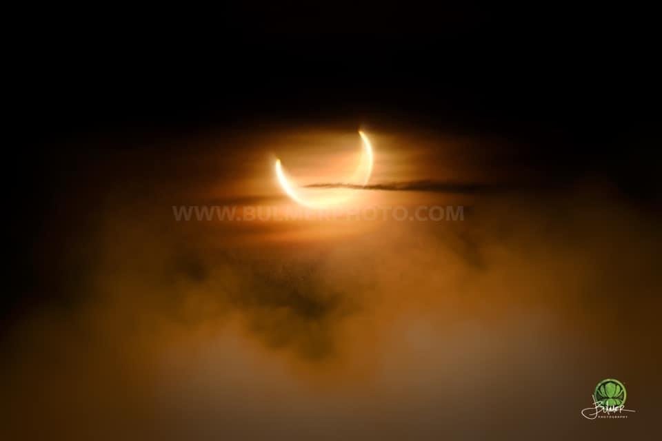
The stars are disappearing from the night sky. Each year, more are claimed by the glare of expanding cities and sprawling suburbs. It’s something you may not have given much thought to, and in our time of global pandemics, extreme weather events, and armed conflict, preserving the night sky may not rank as a global priority, but maybe it should.
As a professional photographer and an advocate for the night sky, I am committed to capturing its beauty and sharing it with the world. Through my work, I hope to ignite a passion for protecting the darkness and preserving the wonders that lie beyond our atmosphere.
A story of two children separated by 80 years:
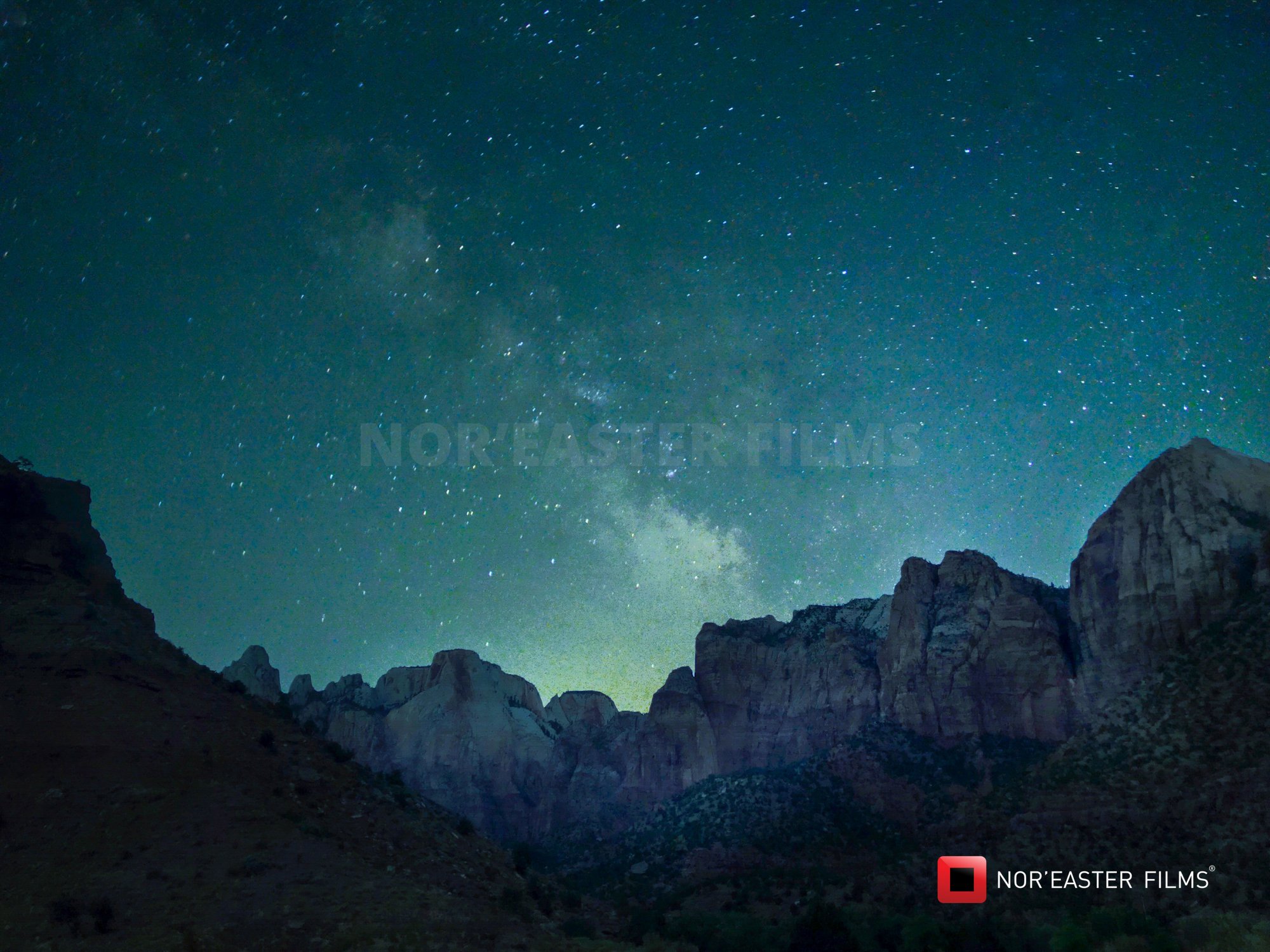
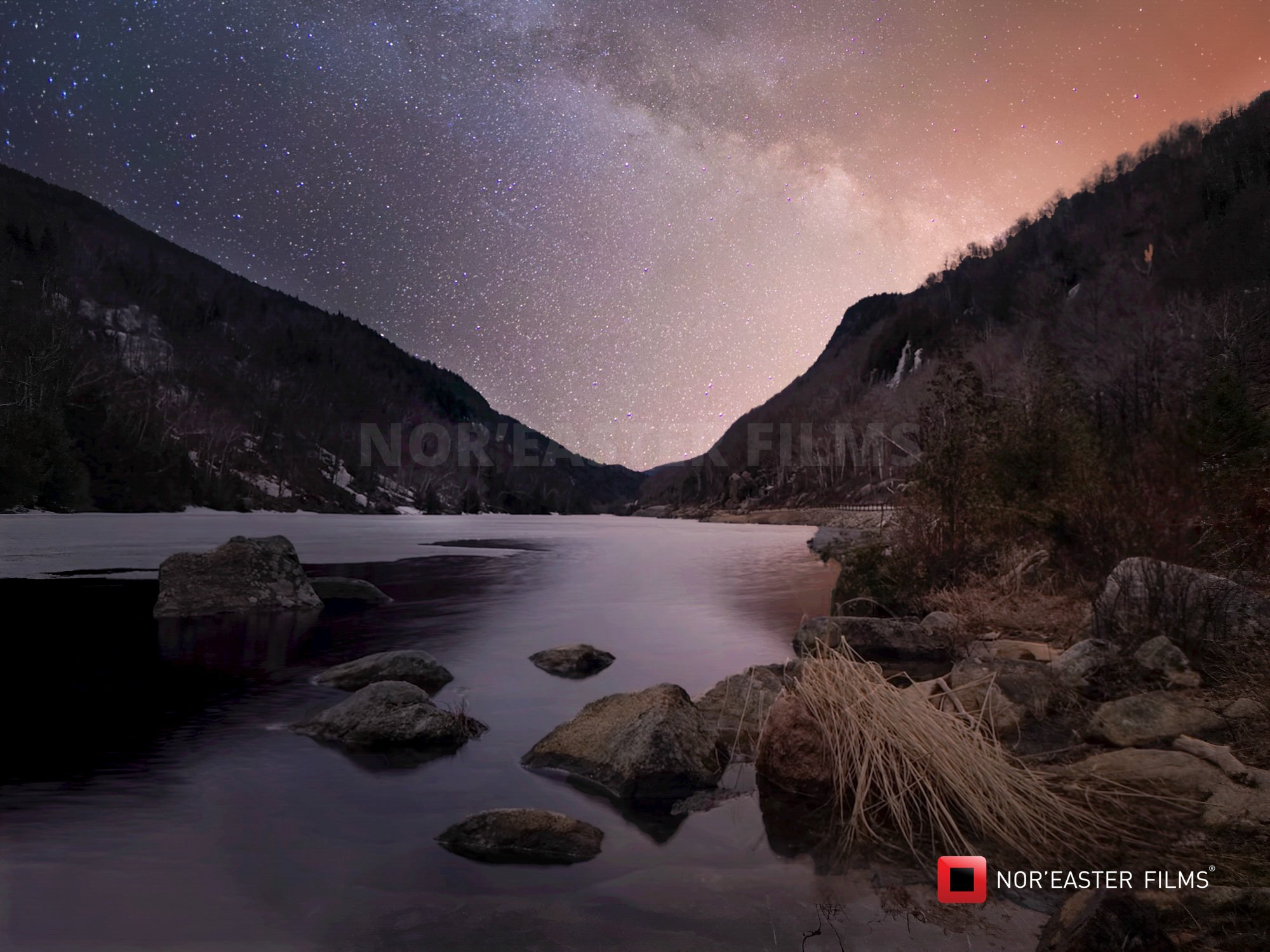
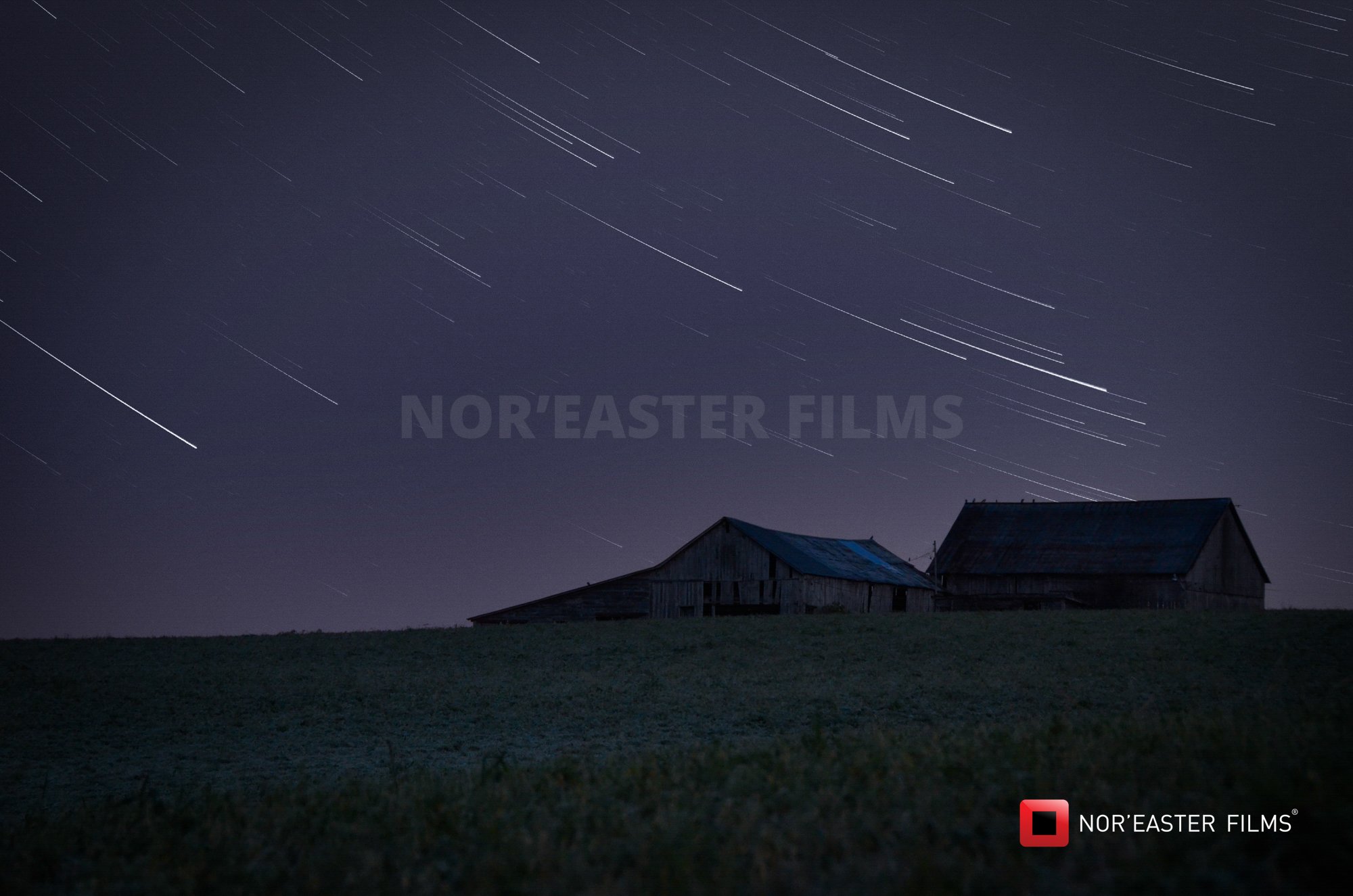
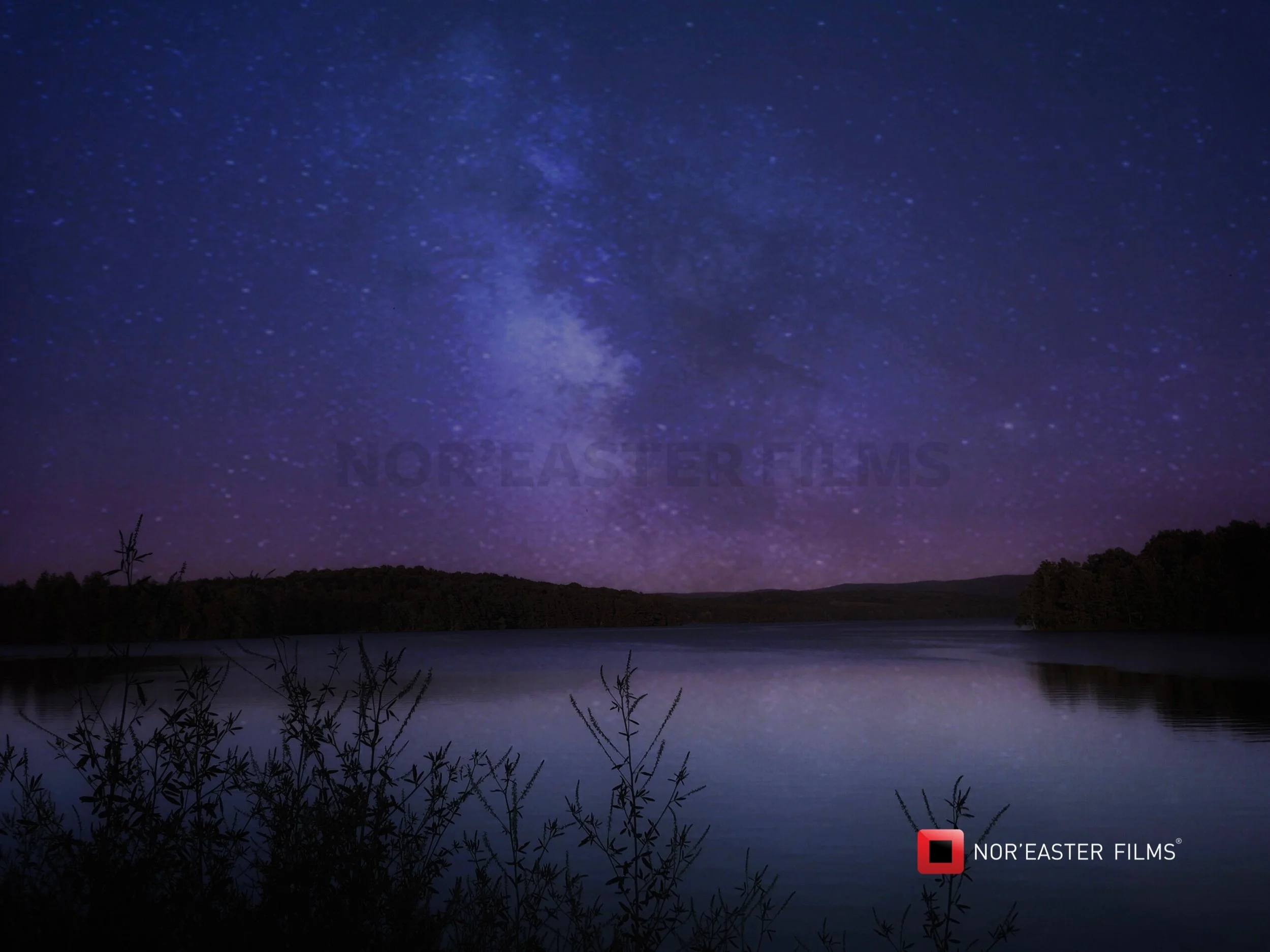
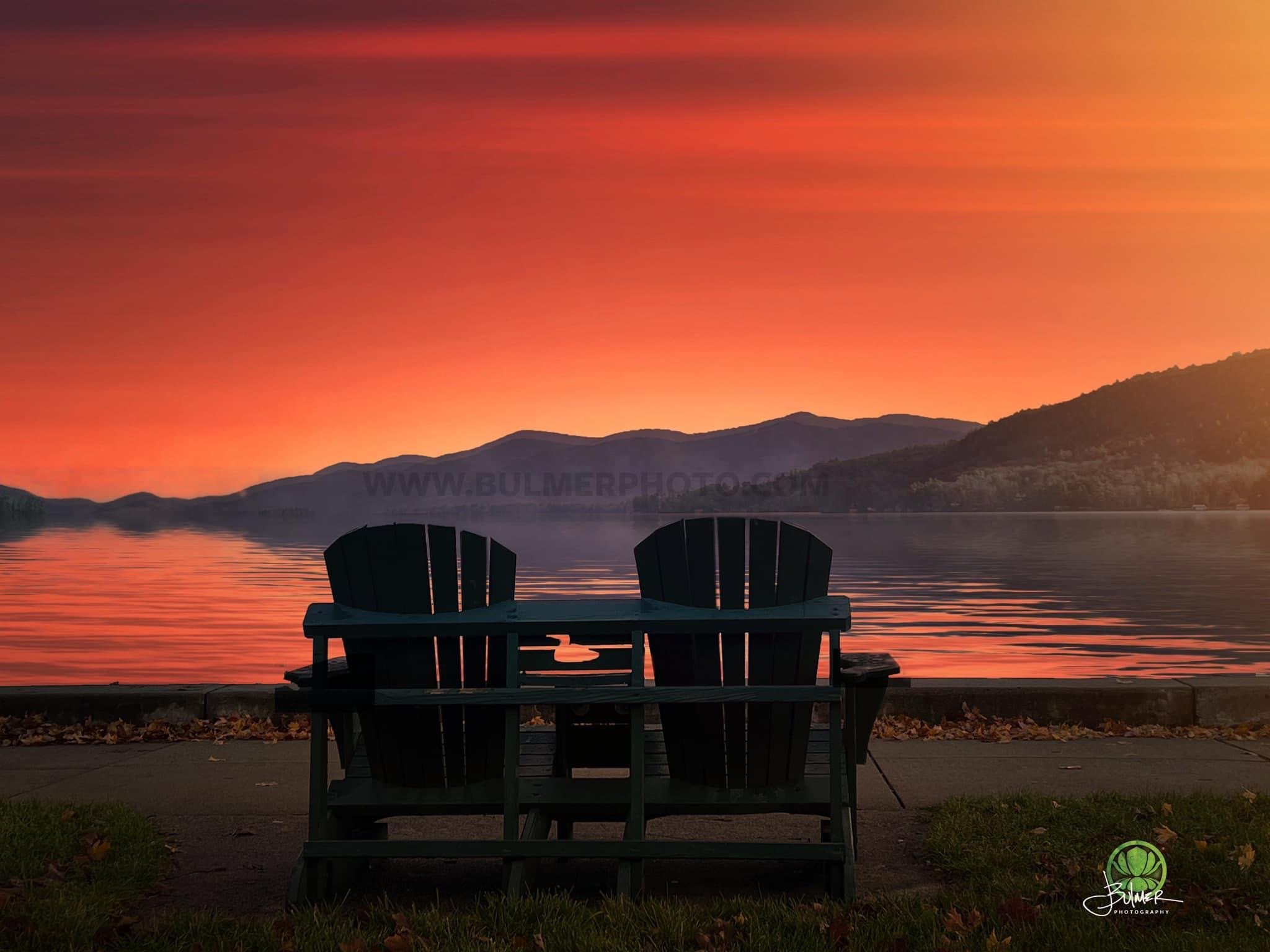
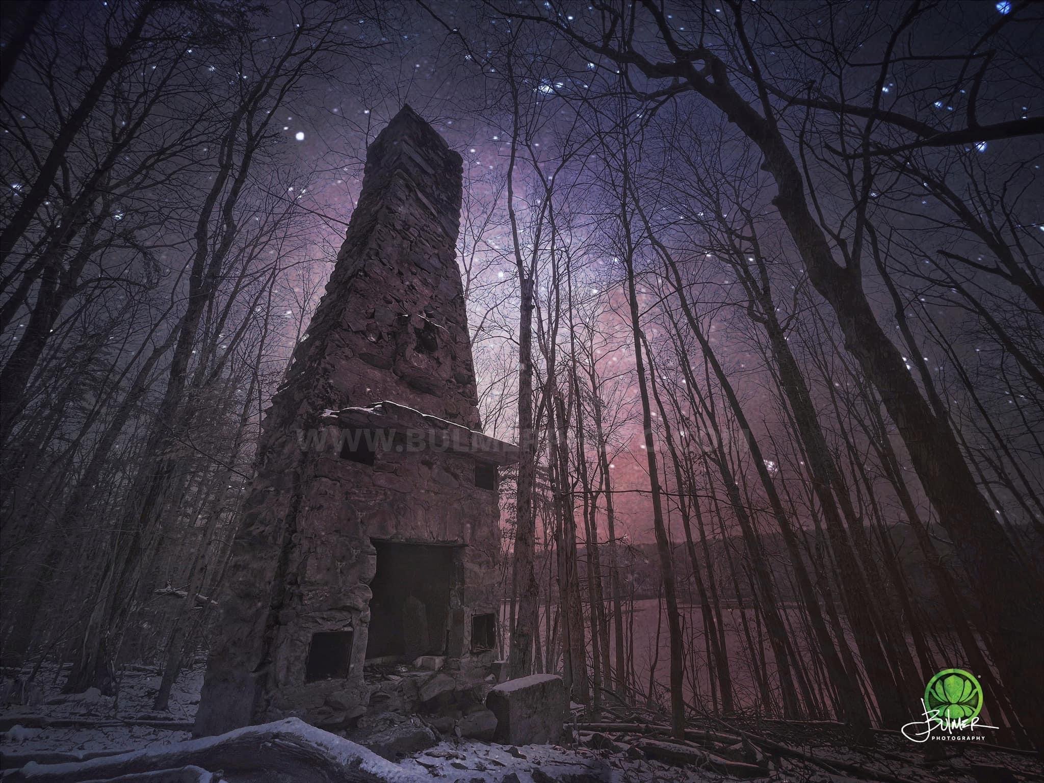
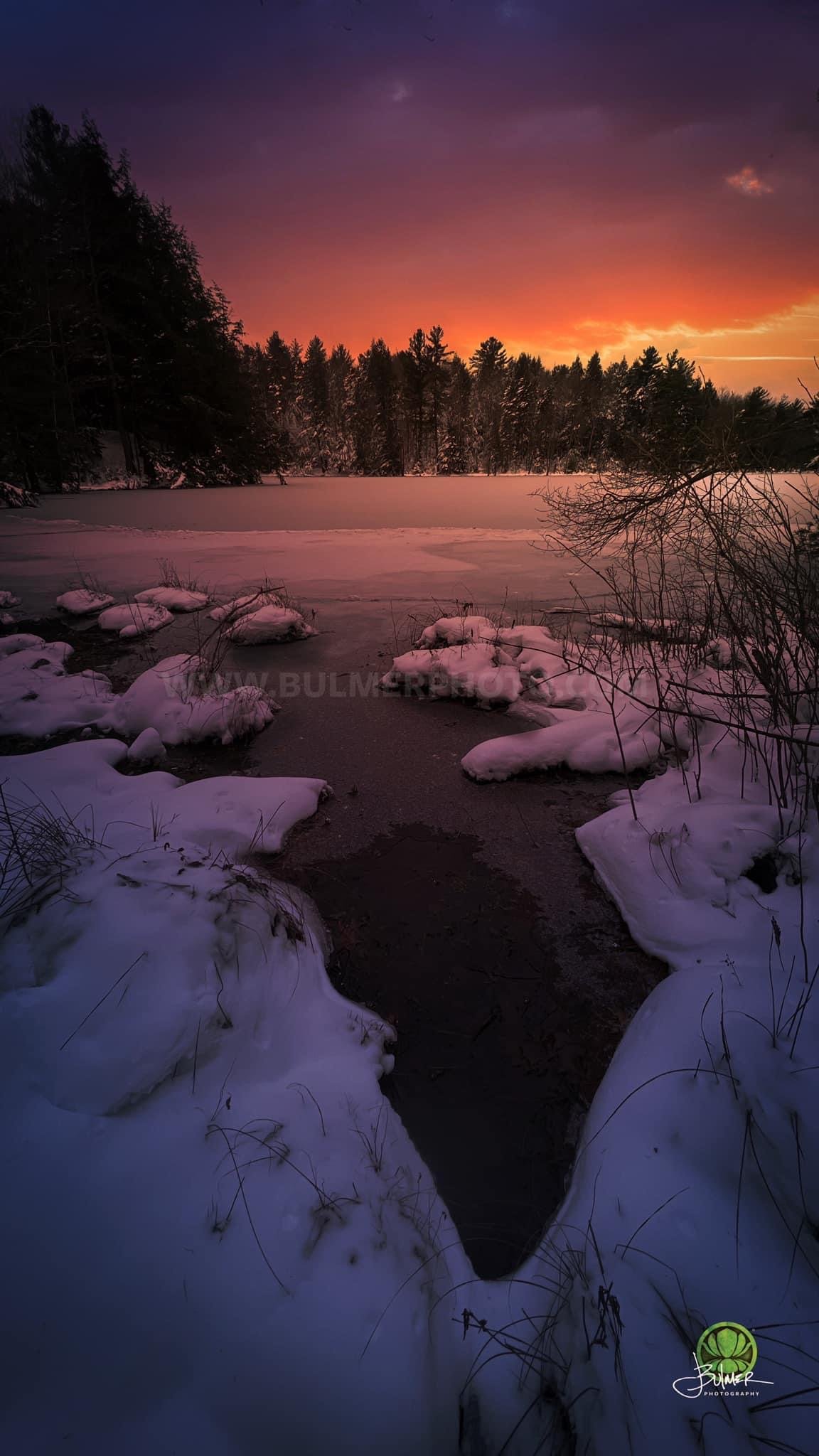
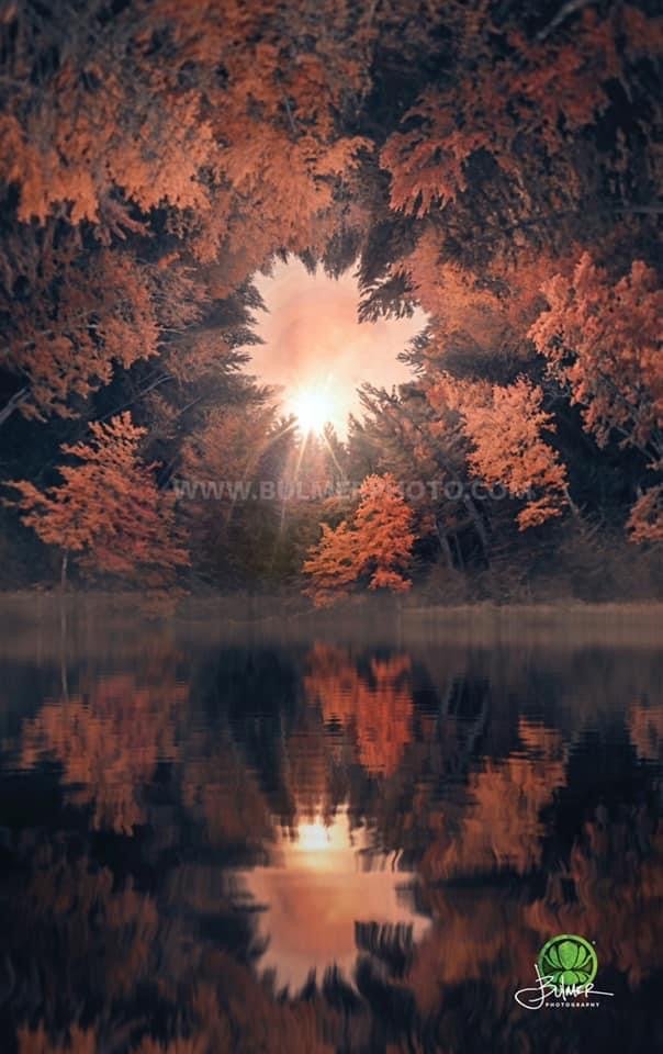
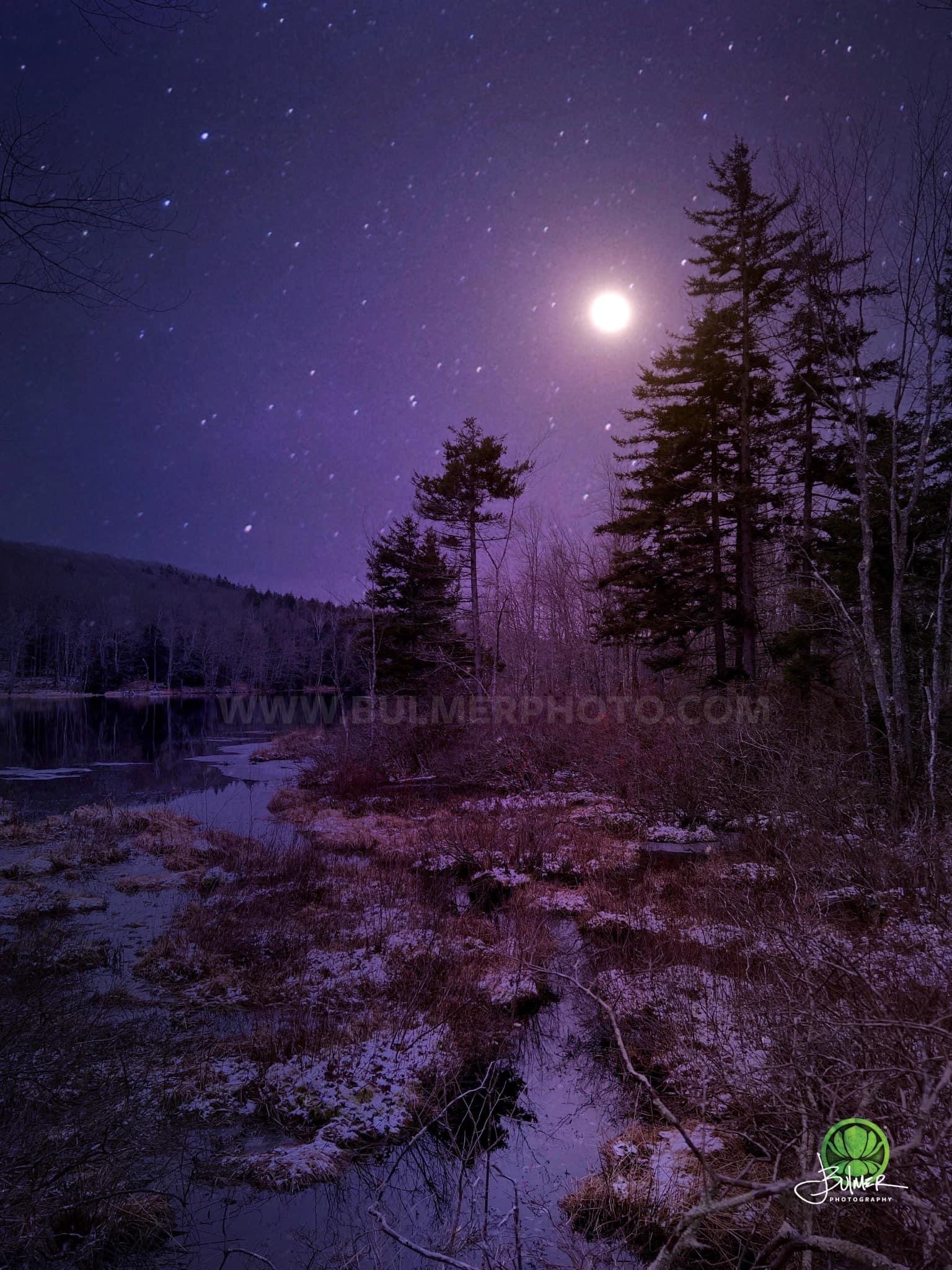
The year is 1943, and a child gazes up at the night sky, eyes wide with wonder and curiosity. As he peers into the darkness, his young mind is captivated by the sheer abundance of stars that pepper the dome of night surrounding their town. The air was crisp and still, allowing for perfect visibility, unimpeded by the intrusion of artificial light. The child plots familiar constellations with excitement, tracing the lines that connect the glittering dots. The Milky Way stretches across the sky like a luminous river. At this moment, he feels a profound sense of connection to the vastness of the universe, a humbling reminder of our place in the grand cosmic order. He stands in awe, immersed in the serenity and beauty of the night sky, his imagination ignited by the boundless possibilities that lie beyond Earth's atmosphere. What’s out there? It’s a question we’ve all asked ourselves.
Amidst the enchantment of the stars, the boy’s thoughts briefly turn to the harsh realities of the time. In 1943, the world was embroiled in a devastating conflict. Enemy air raids are a constant threat, and he can’t help but cast a wary eye on the night sky. While the celestial display is a source of awe and inspiration, it also serves as a stark reminder of the perilous times he lives in. The vastness of the universe contrasted with the chaos and destruction unfolding on Earth, deepening their appreciation for the fragile peace that the night sky symbolized. The darkness hid the landscape from the potential of bombers searching for strategic targets, the darkness made him feel safe and scared all at the same time.
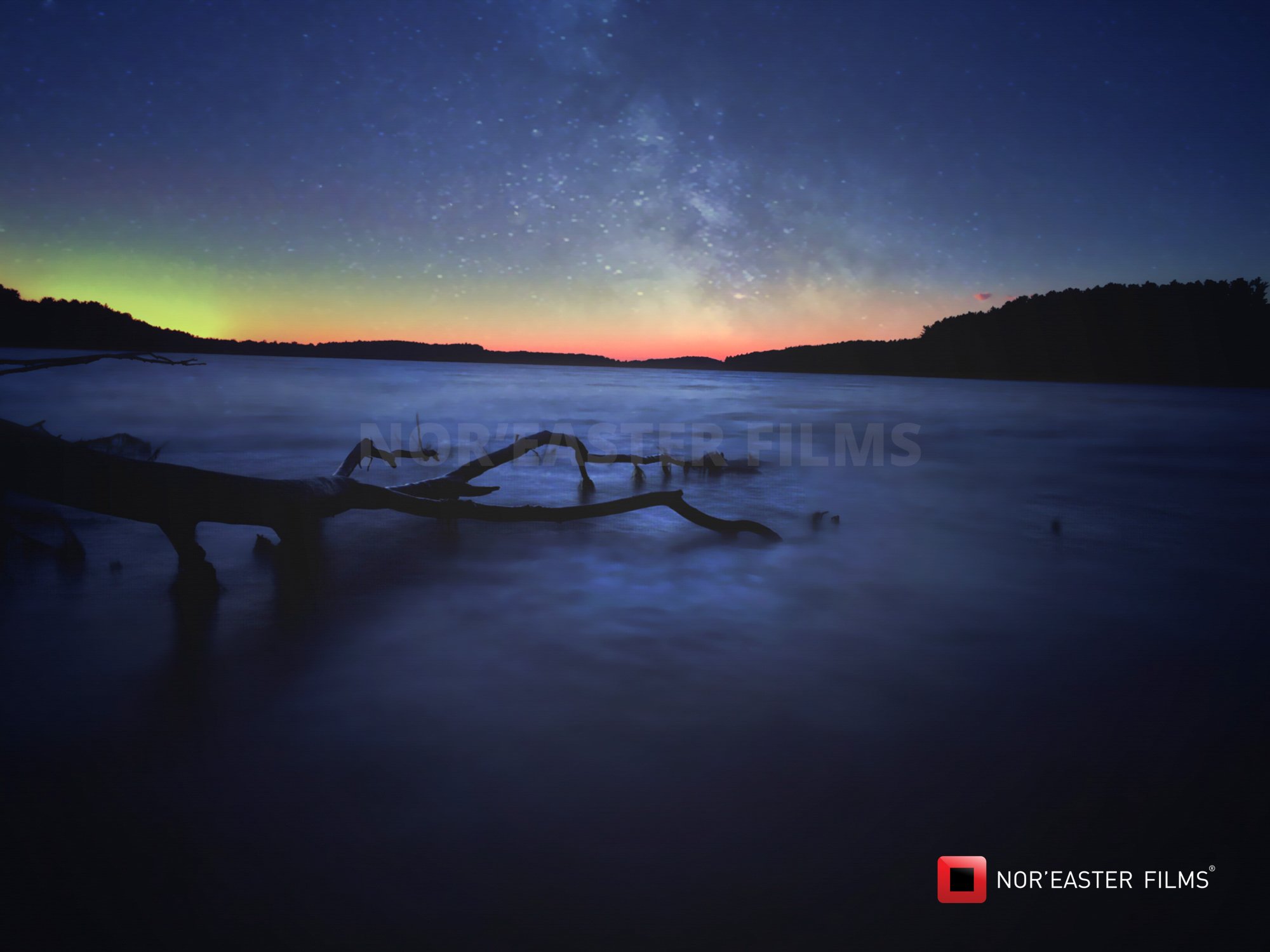
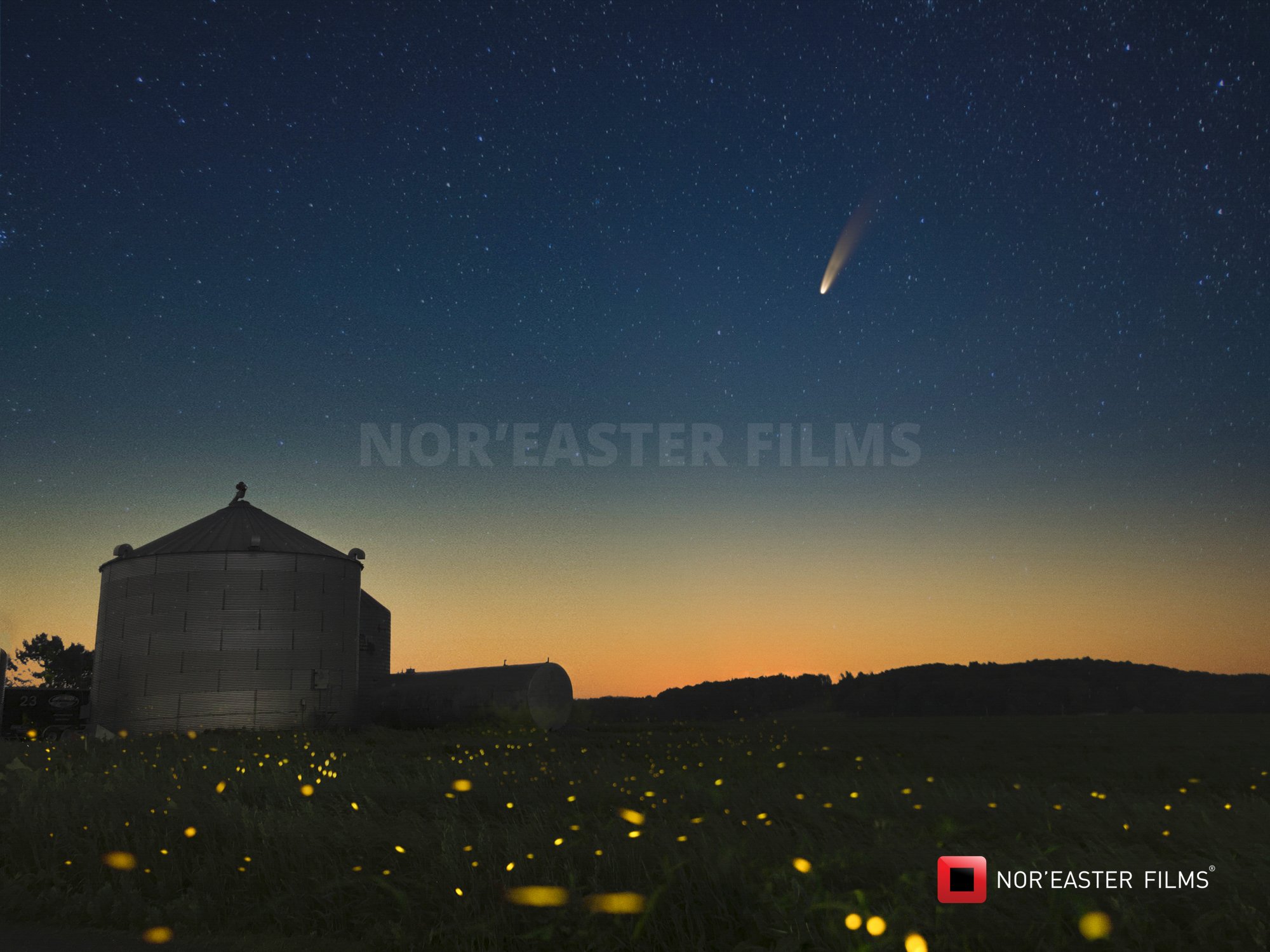
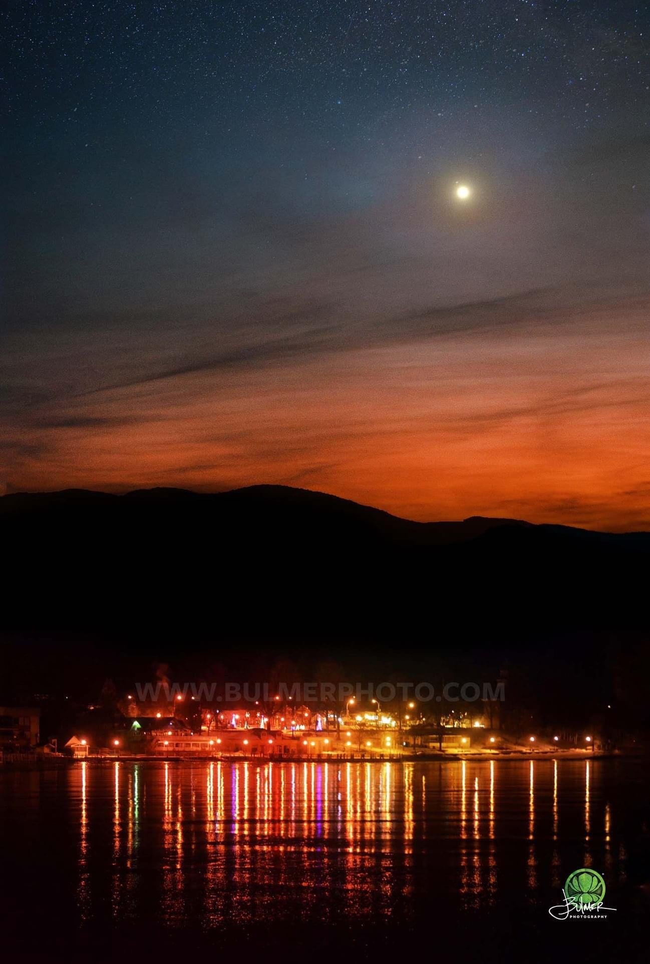
Fast forward to the year 2023, and a young girl tilts her head back, gazing up at the night sky with a mix of anticipation and curiosity. As her eyes adjust to the ambient light and the glow of nearby cities, she notices a celestial panorama vastly different from what her grandfather experienced in 1943. The stars, though still present, seem dimmer and scattered amidst the persistent veil of light pollution. She strains her eyes to catch a glimpse of constellations, but the urban glow obscures many of the intricate patterns she’s learned about. Instead of a blanket of twinkling lights, she sees a subdued and muted sky, lacking the brilliance and clarity described by her grandfather.
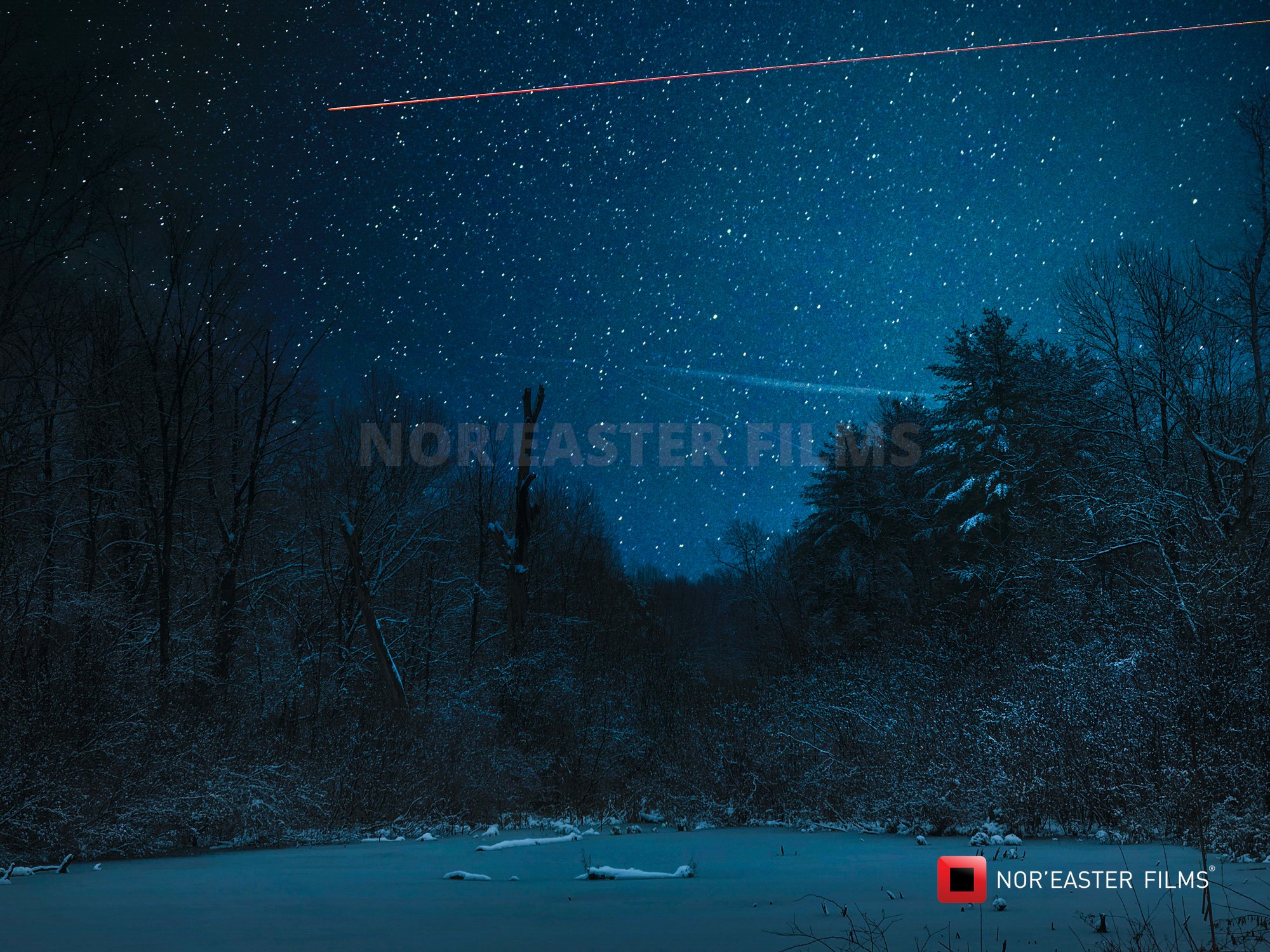
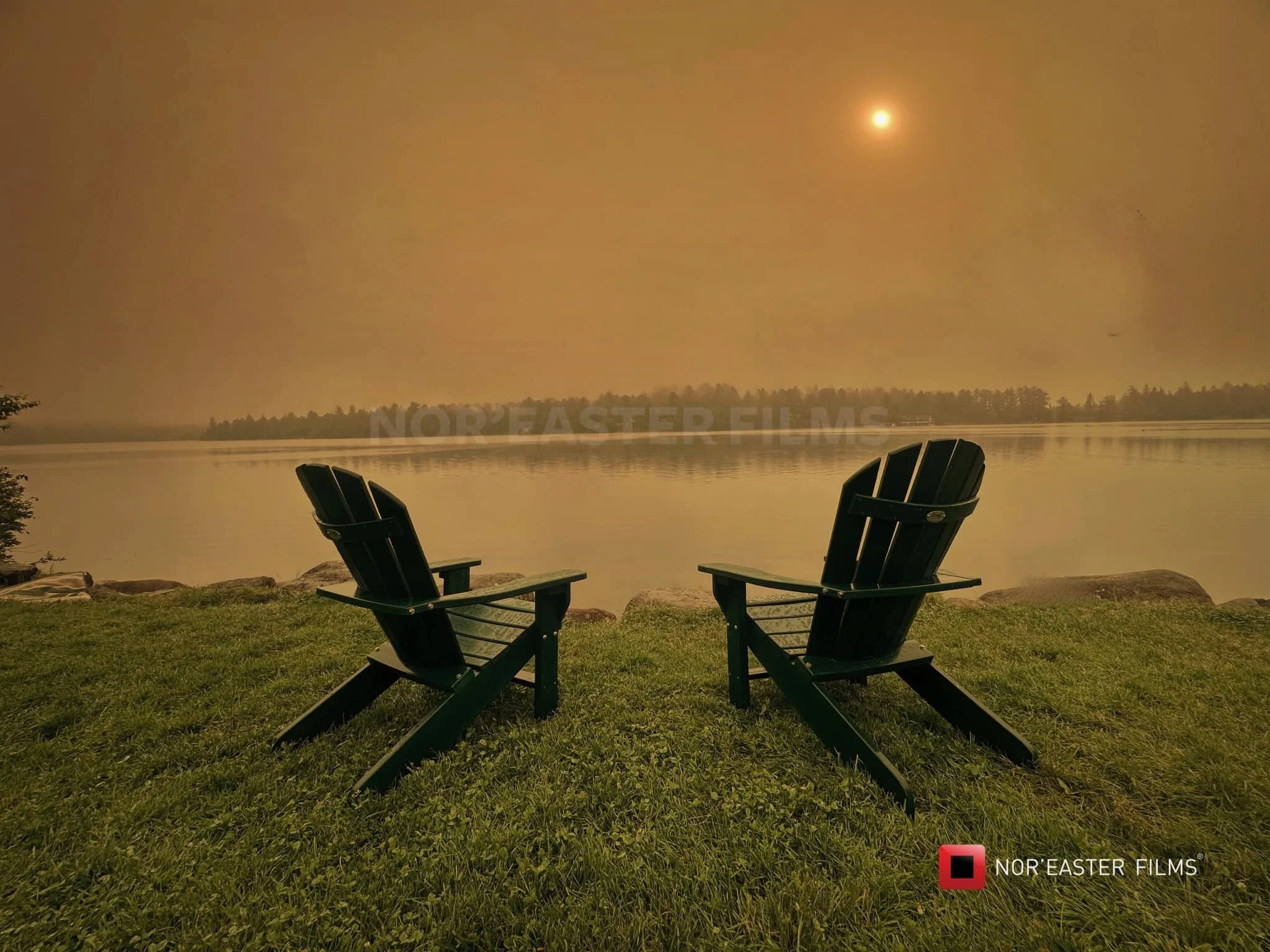
In addition to the challenges of light pollution, another factor further influences her stargazing experience in 2023—wildfire smoke. As wildfires become increasingly prevalent in many parts of the world, the skies often bear the hazy consequences of these natural disasters. Her view of the stars is further compromised by the lingering smoke particles suspended in the atmosphere. The celestial wonders that once dazzled with their brilliance now struggle to pierce through the smoke-filled air, creating an additional layer of obstruction.
However, despite the combined obstacles of light pollution and wildfire smoke, she refuses to let go of her sense of wonder. She adapts to the circumstances and finds solace in technology, using her smartphone to identify the stars that manage to break through the urban glow and smoke-laden sky. Even beyond the halo of lights produced by nearby cities, the beauty of the night sky remains a source of inspiration and awe.
Although the view has changed since her grandfather's time, this young stargazer recognizes the importance of preserving and reclaiming the natural darkness of the night sky, hoping that future generations will once again revel in the pristine and unobstructed splendor of the cosmos.
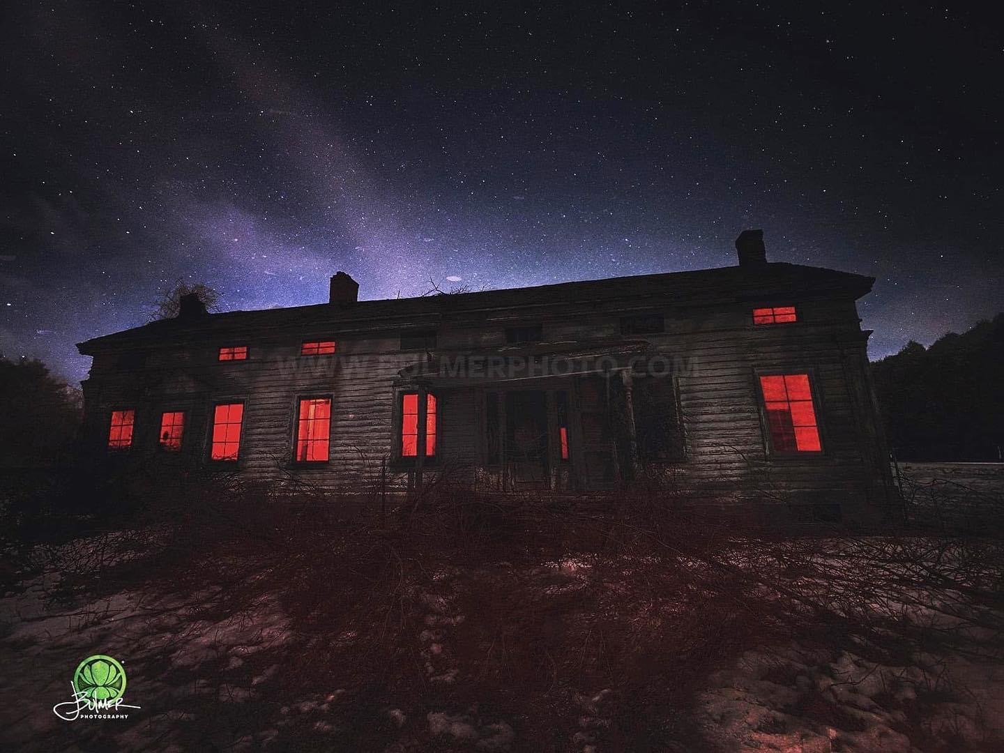
She understands that addressing light pollution and combating the impacts of climate change that fuel wildfires are crucial steps towards ensuring a brighter future for stargazing enthusiasts worldwide. Her growing awareness of the need for environmental stewardship inspires hope for a night sky that can be cherished by generations to come. She is not alone in that desire to preserve the darkness and prevent the stars from disappearing. Right now, some of you reading this have never witnessed a truly dark night sky, and that is a shame.
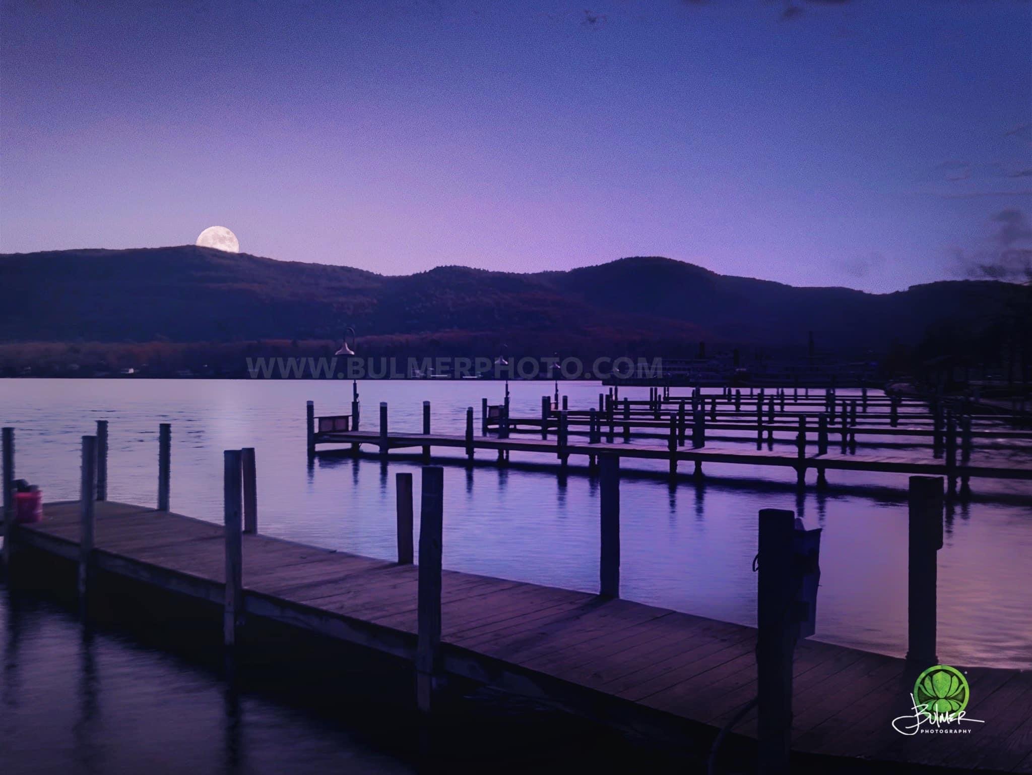
Light pollution, the excessive or misdirected artificial illumination that interferes with the natural darkness of the night sky, has become a global concern. In 1943, artificial lighting was relatively limited, especially in rural areas, allowing for pristine dark skies that revealed the full splendor of stars, constellations, and the Milky Way. Children of that era could gaze upwards and witness a tapestry of sparkling celestial objects against a backdrop of true darkness.
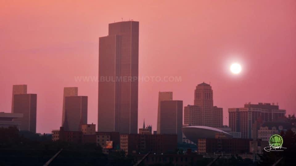
In stark contrast, the night sky of 2023 presents a skyglow phenomenon, resulting from the scattering and reflection of artificial light. Even in suburban or rural locations, the glow from nearby cities and towns pollutes the night sky, obscuring the fainter stars and making it challenging to observe celestial wonders that were once easily visible to the naked eye. For children today, the spectacle of a truly dark, star-filled sky is increasingly rare and limited to remote, light-controlled areas.
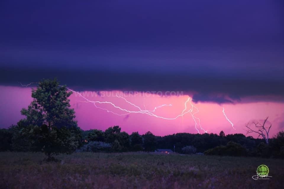
Environmental changes have also had an impact on the night sky over the past eight decades. Today, climate change and air pollution can influence atmospheric conditions, affecting visibility and introducing additional challenges to stargazing. Weather patterns, such as increased cloud cover, may limit opportunities for children in 2023 to witness astronomical events like meteor showers, eclipses, and the dance of the Northern Lights, potentially altering their experiences compared to those in 1943.
Light pollution stems from various factors, including urbanization and population growth, poor lighting design and technology, excessive and misused lighting, blue-rich and LED lighting, advertising and media, glare, reduced visibility, lack of awareness, and insufficient regulation.
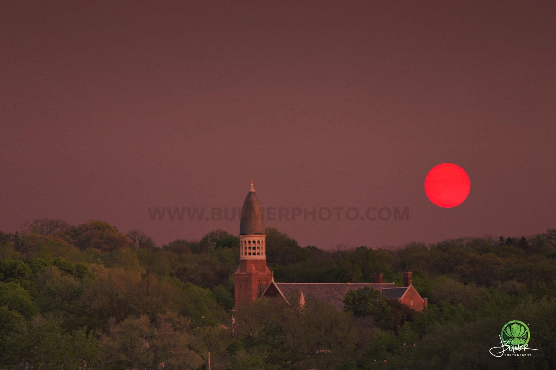
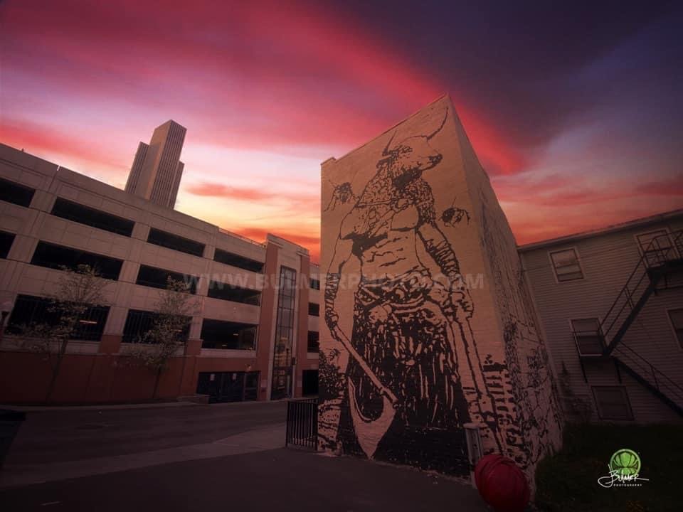
The rapid growth of urban areas and the increasing global population have played a significant role in the escalation of light pollution. As cities expand, so does the demand for artificial lighting to facilitate various activities, such as street lighting, commercial signage, and outdoor advertising. Bright lights spill beyond their intended areas, creating a dome of light that obscures our view of the stars. It’s called light trespass and we all witness it every day.
Another significant cause of light pollution lies in the design and technology of lighting fixtures. Inefficient lighting systems, including outdated streetlights and poorly shielded outdoor fixtures, emit light in multiple directions, leading to wasteful and unnecessary illumination. Unshielded lights contribute to upward light escape, resulting in skyglow, where the night sky appears hazy and washed out. Excessive use of lighting, both in terms of intensity and duration, also contributes to light pollution. Many outdoor spaces, including commercial buildings, sports facilities, and parking lots, remain illuminated long after they are needed. This not only wastes energy but also affects nocturnal animals, disrupts ecosystems, and disturbs the natural rhythm of life.
The widespread adoption of blue-rich lighting, particularly light-emitting diode (LED) technology, has exacerbated light pollution. LEDs are energy-efficient and long-lasting, but they emit a significant amount of blue light, which scatters more in the atmosphere than other colors. This scattering intensifies the skyglow and affects the natural behaviors of plants and animals, including their sleep patterns and reproduction cycles.
Advertising and media play a role in perpetuating light pollution. Billboards, illuminated signs, and digital displays are often designed to be eye-catching and attention-grabbing, resulting in excessive light emission that spills into the night sky. Additionally, the portrayal of brightly lit cities in movies, TV shows, and advertisements further reinforces the perception that a well-lit environment equates to progress and prosperity. Excessive brightness from streetlights, advertisements, and commercial signage can create glare, which hampers visibility. Glare can impede the ability to see clearly, especially for drivers, pedestrians, and cyclists, potentially leading to accidents or hazards on the road or in public spaces.
A lack of awareness about the consequences of light pollution, coupled with inadequate regulations, contributes to its persistence. Many individuals and communities are unaware of the ecological, health, and astronomical impacts of excessive lighting. Additionally, lighting ordinances and regulations in many regions often fail to address the issue comprehensively or enforce compliance effectively.
Raising awareness about the impacts of light pollution on human health and taking steps to mitigate its effects is crucial. Implementing appropriate lighting practices, using warm and dimmer light sources in the evening, employing efficient lighting technologies, and implementing lighting regulations to minimize light pollution are essential measures to preserve the integrity of the night sky and promote the well-being of both humans and the natural world.
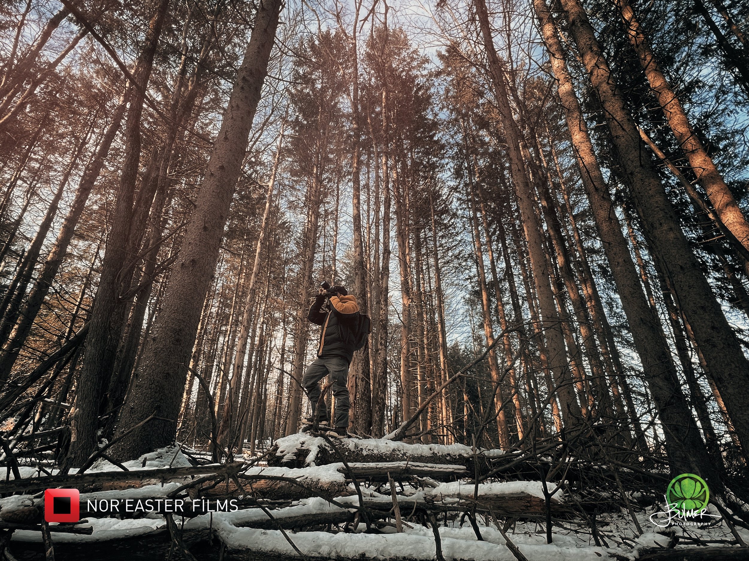
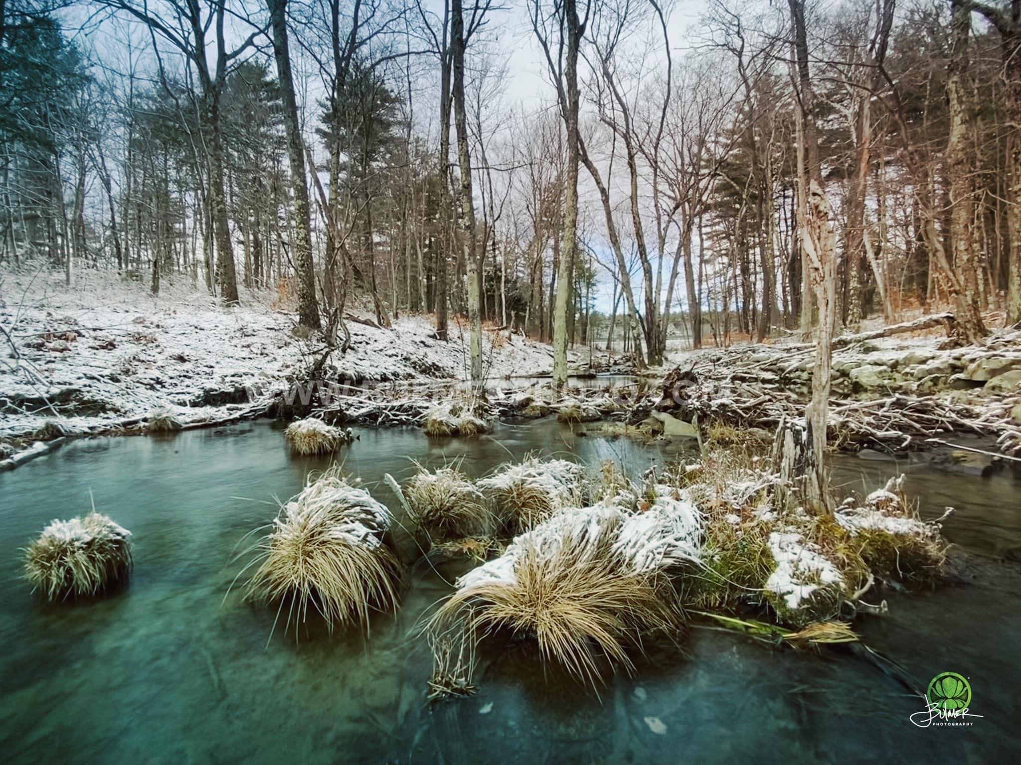
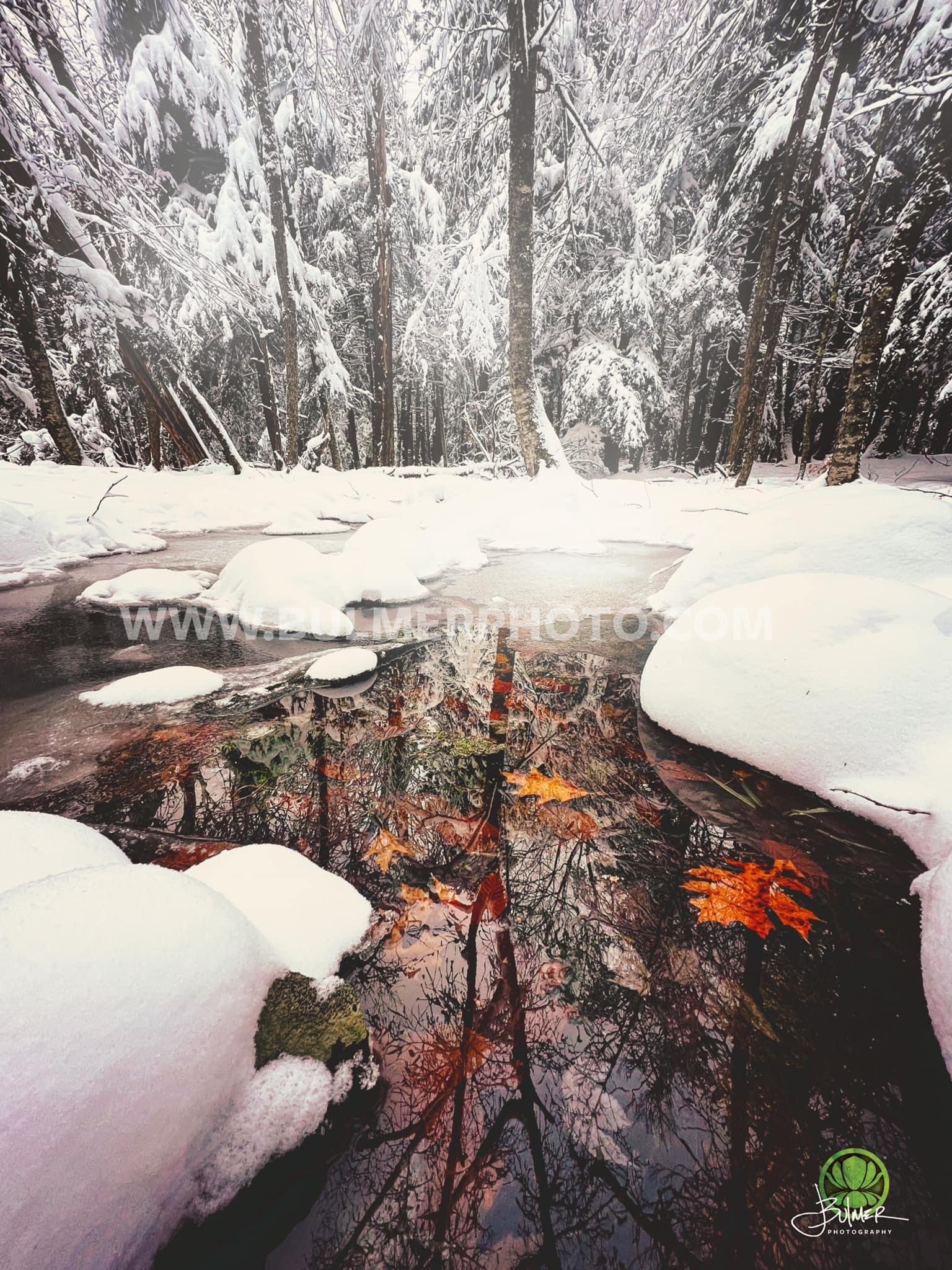
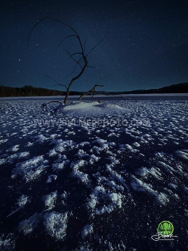
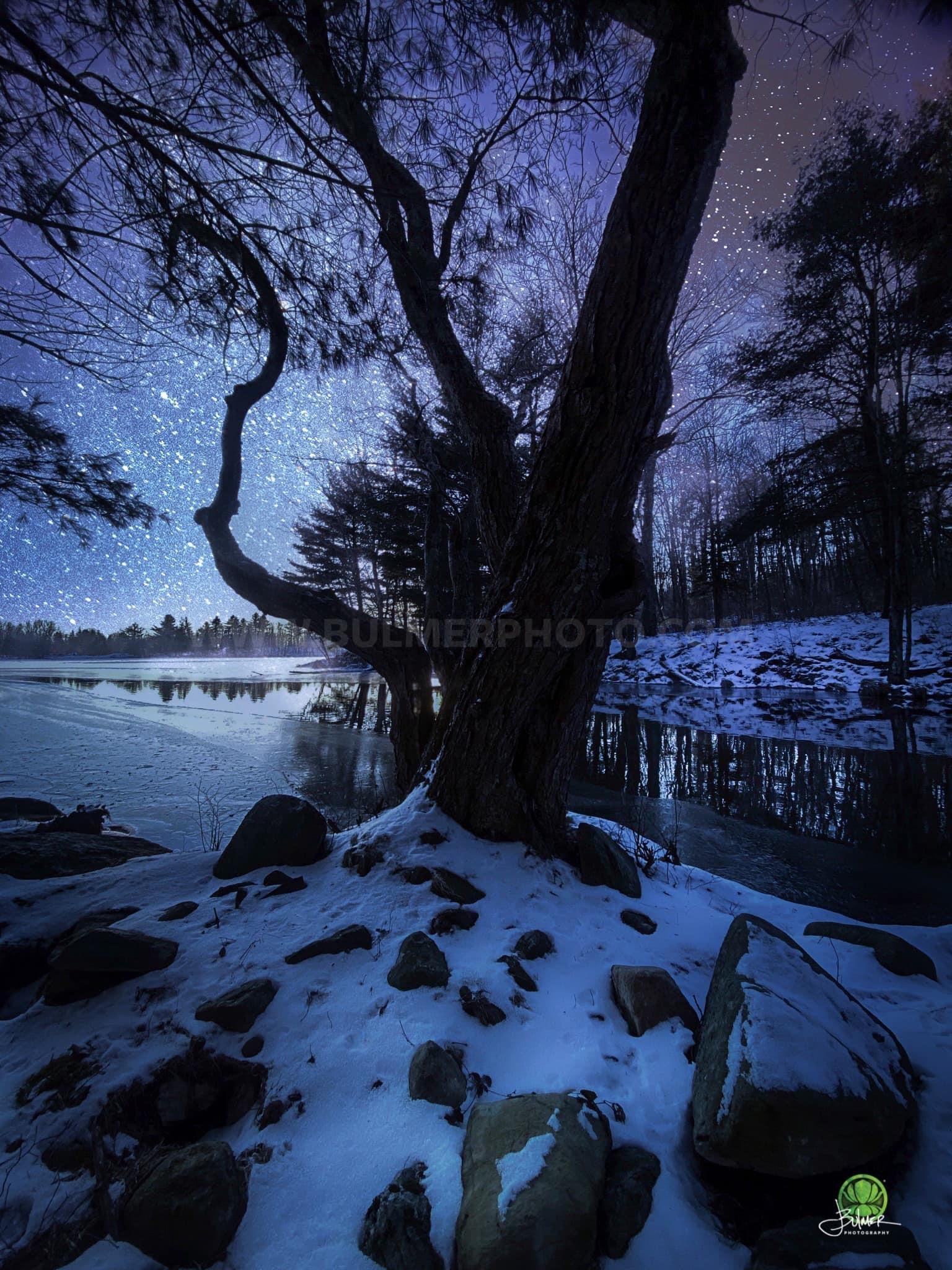
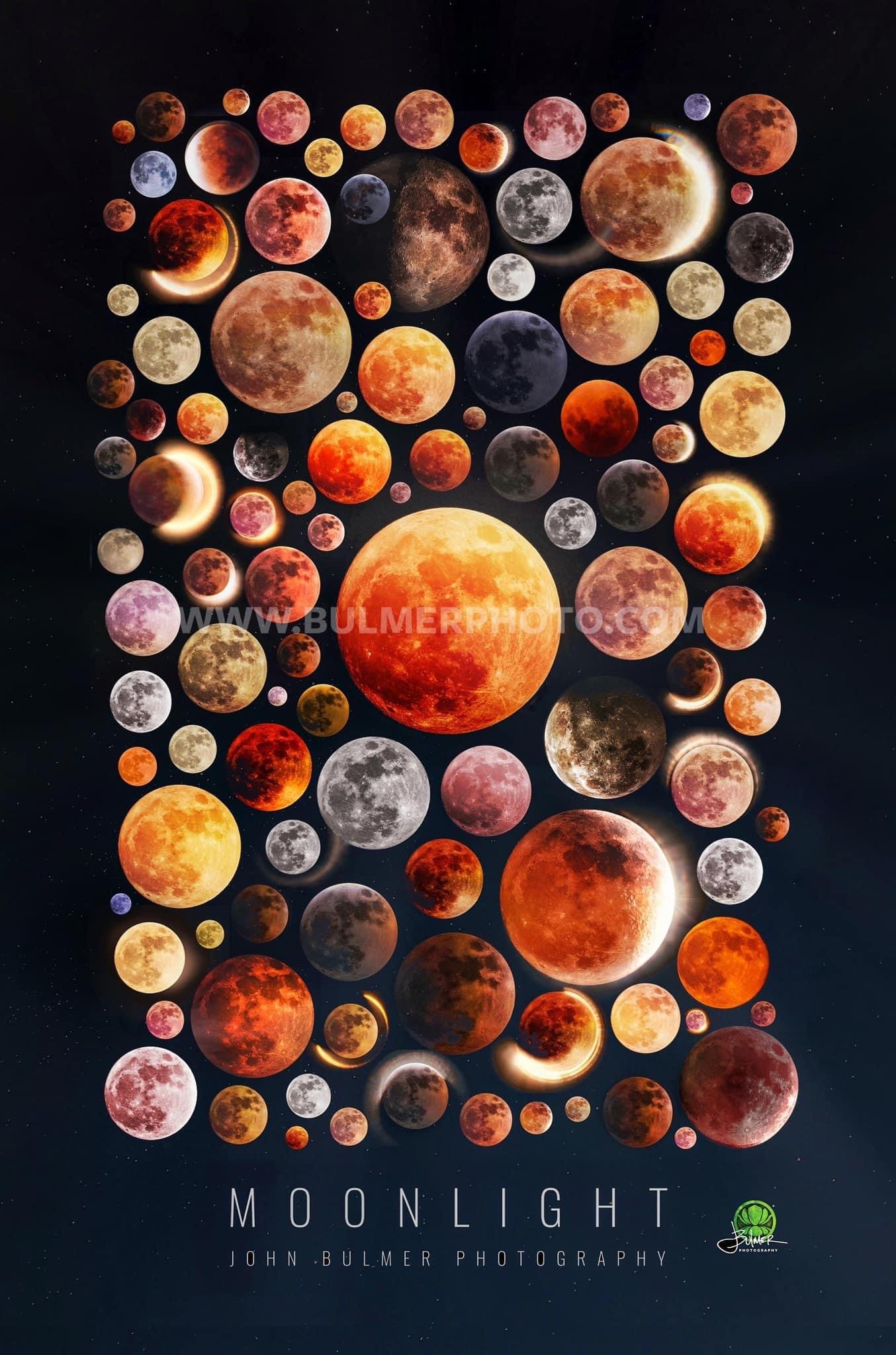
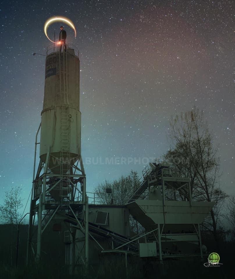
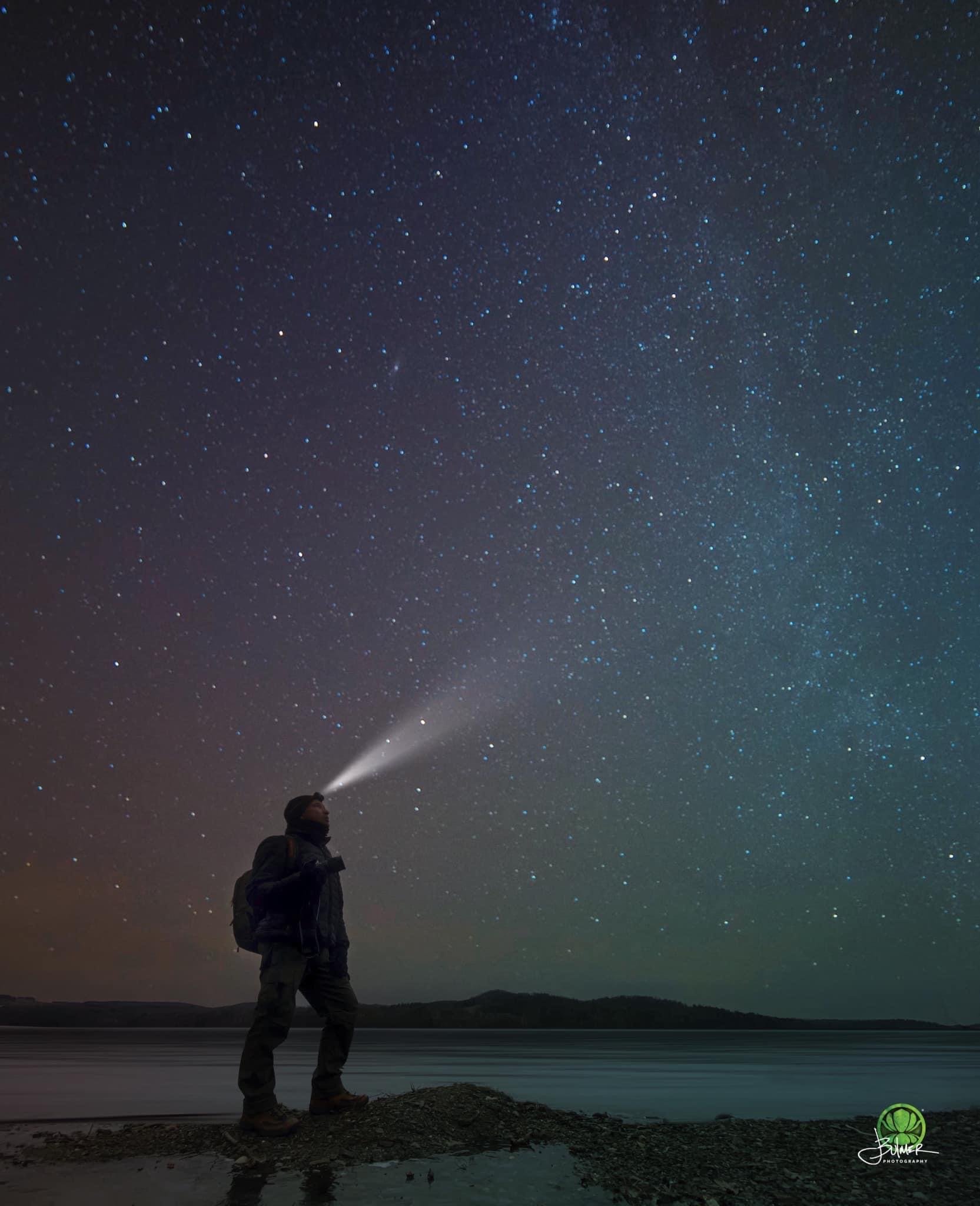
Over the past 25 years, documenting the night sky has become a deeply meaningful and transformative journey for me. Through my lens, I have witnessed the ethereal beauty of countless stars, constellations, and celestial wonders. Each time I capture the silent, vast cosmos, I am reminded what a special slight the night sky is. We don’t look up often enough.
Documenting the darkness is not just about capturing stunning images; it is about preserving a precious legacy for future generations. The night sky, with its awe-inspiring wonders, has the power to ignite curiosity, spark imagination, and instill a sense of wonder in young and old alike.
But the darkness of the night sky is under threat.
It is our responsibility to protect and preserve the darkness for future generations. By raising awareness about light pollution and its detrimental effects, we can inspire change and encourage communities to adopt responsible lighting practices. We must advocate for the use of shielded and efficient lighting fixtures, the implementation of lighting regulations, and the preservation of natural spaces where the night sky can still be seen in its full splendor.
Protecting the darkness is not just about preserving a breathtaking view; it is about safeguarding our connection to the cosmos, nurturing a sense of wonder, and fostering a deeper understanding of our place in the universe. It is about giving future generations the opportunity to gaze up at a star-filled sky and experience the same sense of awe and inspiration that has shaped my life.
As an environmental photographer and journalist with over 25 years of experience and a vast archive of over a million images, I have had the privilege of witnessing the dramatic changes occurring in our weather patterns and environment. Throughout my career, few transformations have been as disheartening as the degradation of the once-majestic night sky.
In the early years of my career, the night sky shone brightly, forming the constellations that guided generations of explorers. It was a breathtaking sight that resonated with a deep sense of awe and connection to the natural world.
However, as time passed, a sobering shift became evident. The stars began to fade from view, their brilliance obscured by the insidious spread of light pollution. Urban expansion and increased development encroached upon the darkness, allowing artificial light to dominate and erode the natural beauty of the night sky. I’ve had to go farther to find dark skies, and those places that were once dark, have been claimed by the light.
I’ve watched with dismay as light pollution gradually encroached upon the serenity of the night sky. Our cities expanded, and rural areas transformed into concrete landscapes, causing artificial illumination to spill into the atmosphere, obscuring the stars' radiance.
Adding to this plight, the rising incidence of wildfires, fueled by the impacts of climate change, contributed to the further degradation of the night sky. The billowing smoke and haze from these fires acted as a veil, dimming the stars' brilliance and casting a pall over the once-vivid celestial canvas.
Wildfires have become an all-too-common occurrence, and their impact on our environment is devastating. The smoke and haze they produce create additional obstacles for stargazers, obstructing the view and adding another layer of obscurity to the night sky.
Furthermore, the encroachment of human development into once-rural areas has exacerbated the loss of our dark skies. The phenomenon of light trespass occurs when artificial illumination spills beyond its intended boundaries, infiltrating previously pristine natural landscapes. This invasion disrupts ecosystems and robs us of the opportunity to connect with the beauty of the night sky and the natural world.
As an environmental photographer, it has been my mission to document and raise awareness about these changes. Through my lens, I aim to capture the diminishing stars, the obscured views caused by wildfire haze, and the encroachment of urban glow into once-pristine areas. Each image tells a story of a planet in flux, urging us to reflect on our collective responsibility to preserve the natural wonders that surround us.
My photographs serve as a visual testimony to the consequences of our actions. They remind me of the urgent need to address light pollution, embrace responsible urban development, and take decisive action against climate change. The preservation of our night sky and the restoration of its pristine beauty are vital for our well-being and the health of our planet.
Despite the challenges we face, there is reason for hope. The growing awareness of these issues has sparked initiatives to reduce light pollution and protect natural landscapes. Communities are recognizing the value of preserving our connection to the stars, and individuals are taking action to reclaim the darkness of the night sky.
As I reflect on my journey as an environmental photographer, I am heartened by the progress we have made. More people are joining the movement to combat light pollution, and there is a renewed sense of urgency to restore the night sky to its former glory. The stars are calling us to action, and it is our responsibility to answer that call.
Through my work, I hope to inspire others to appreciate the profound beauty of our natural world and encourage them to become stewards of the environment. By sharing the stories embedded within my images, I aim to ignite a sense of wonder and foster a collective determination to preserve and restore the pristine beauty of the cosmos.
In the grand scheme of the world's challenges, light pollution may seem like a small issue. Yet, its impact reaches far beyond the individual. The solution lies not in the hands of a single person, but in the collective efforts of a mindful society.
Raising awareness about the detrimental effects of unmitigated light pollution is the first step towards effecting positive change. By educating ourselves and others about the consequences of excessive artificial lighting, particularly in outdoor spaces, we can inspire a shift in behavior and make conscious choices to mitigate this issue.
While it may be easy to feel overwhelmed by the magnitude of the problem, it's important to remember that even small actions can make a significant difference. By reevaluating our outdoor lighting choices, opting for fixtures with downward shielding, and using lower-intensity bulbs, we can reduce light pollution and create more harmonious nightscapes.
If this article has succeeded in raising awareness about light pollution for even one person, it has achieved its goal. Each individual who becomes conscious of the issue becomes an agent of change, capable of influencing others and fostering a ripple effect of positive action.
Let us remember that the night sky, once a source of wonder and inspiration, is our shared heritage. We can reclaim the beauty of our starry nights and create a better world for ourselves and future generations.
In the quest to combat light pollution, let us be guided by the belief that no action is too small. Through collective awareness and responsible outdoor lighting choices, we can illuminate a path toward a brighter, more sustainable future—a future where the splendor of the night sky once again graces our lives.
John Bulmer Environmental Photographer
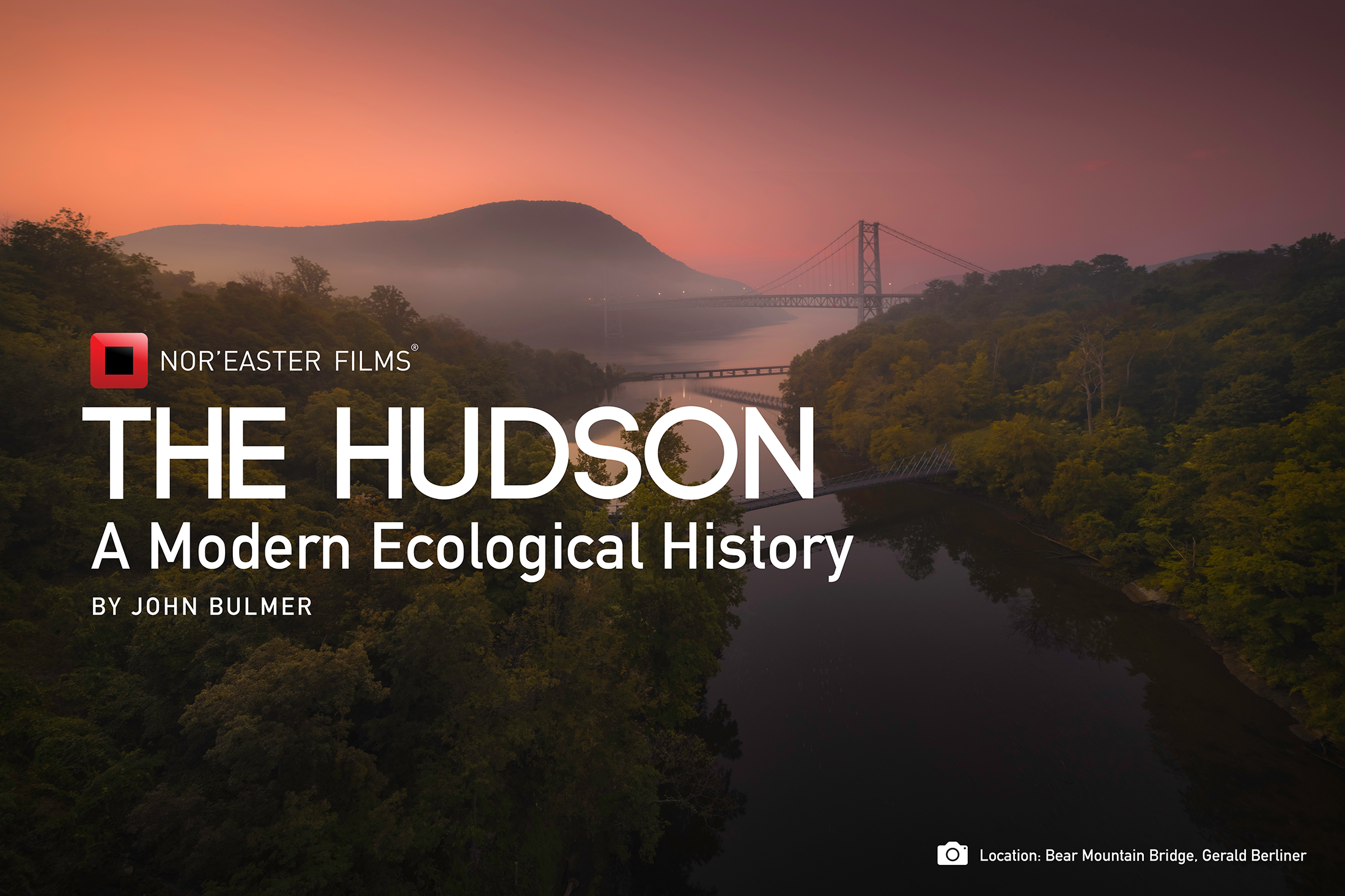
Nor’easter Films, John Bulmer Photography
© 2023 Nor’easter Films and John Bulmer Photography. All rights reserved.