
The Moving Wall
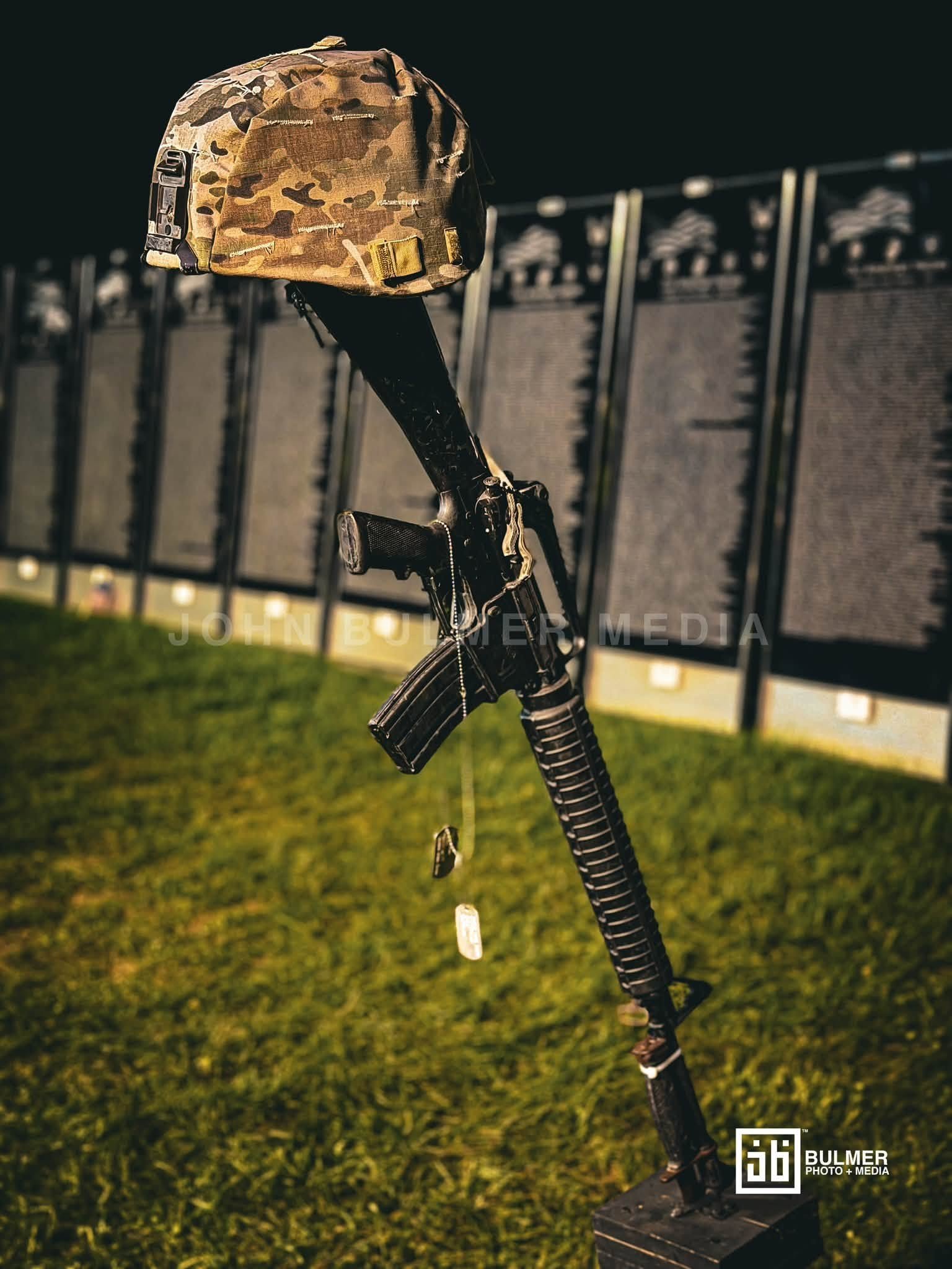
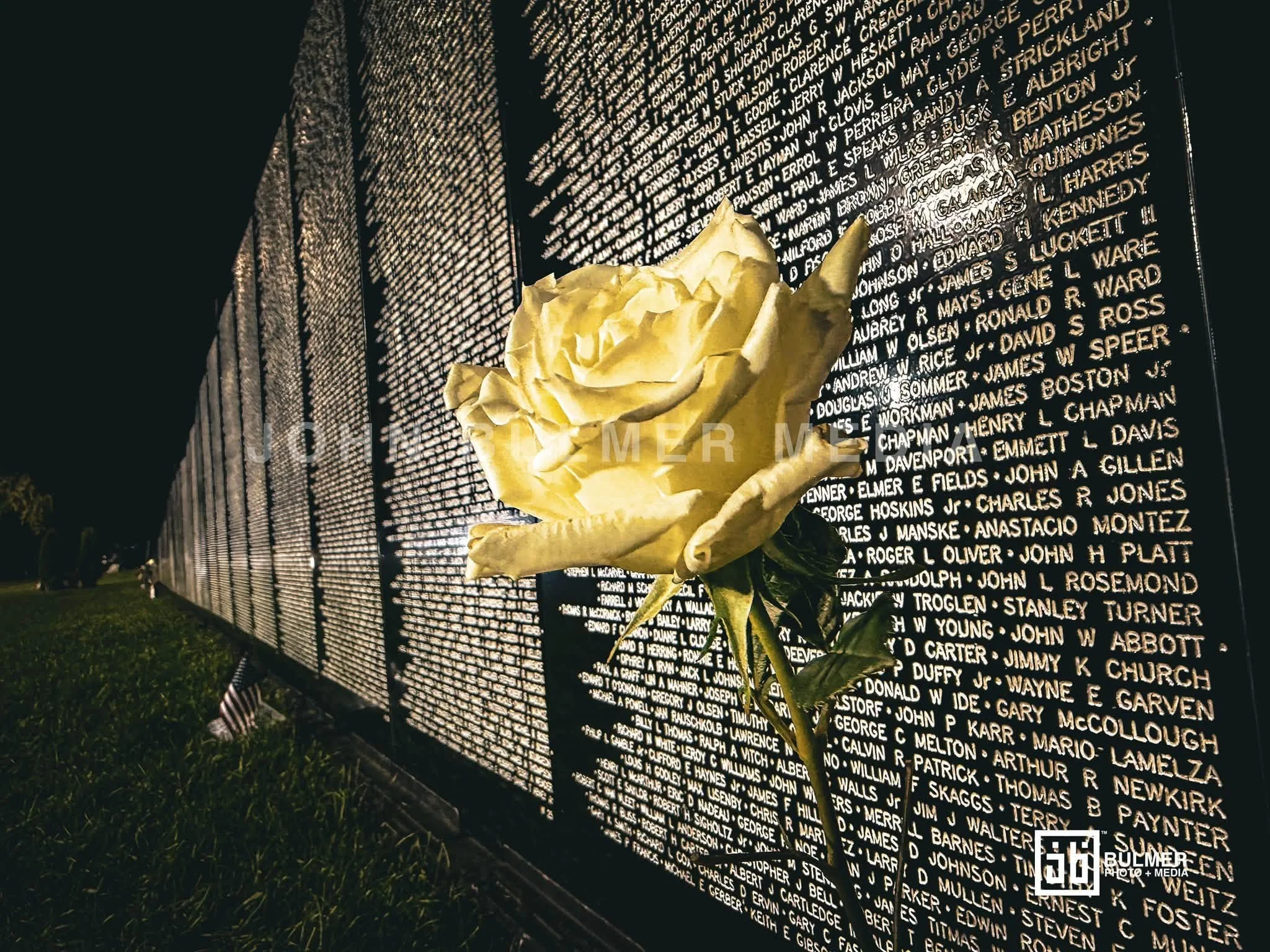


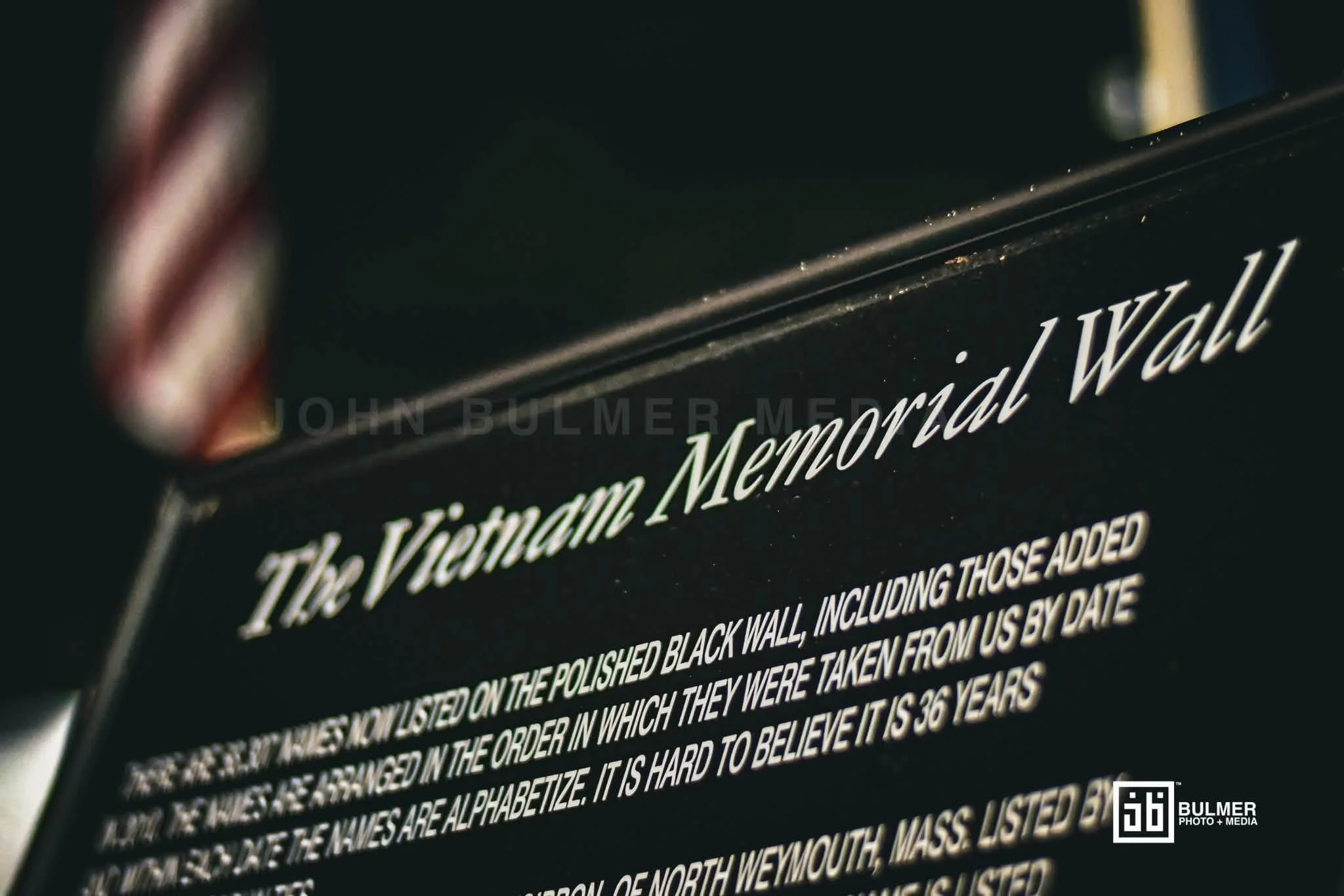
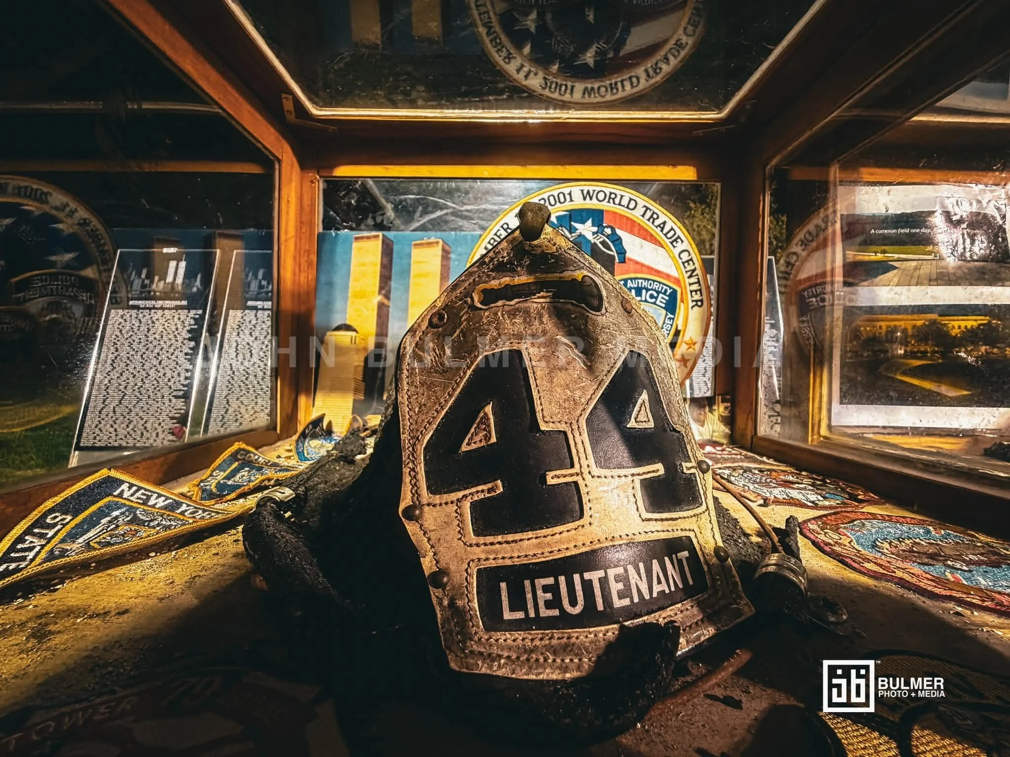
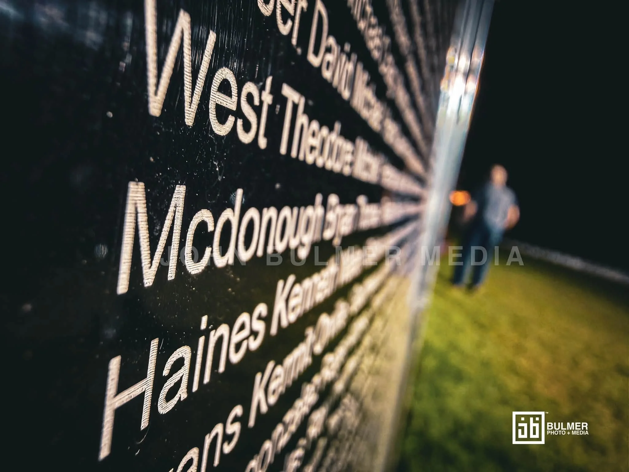
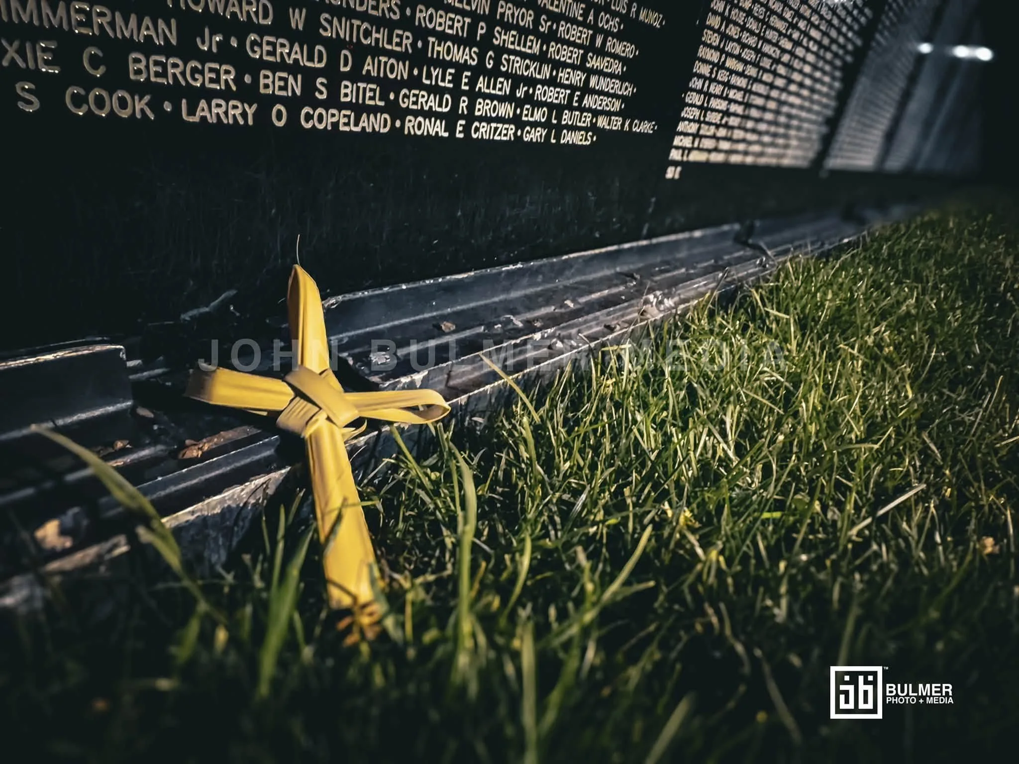
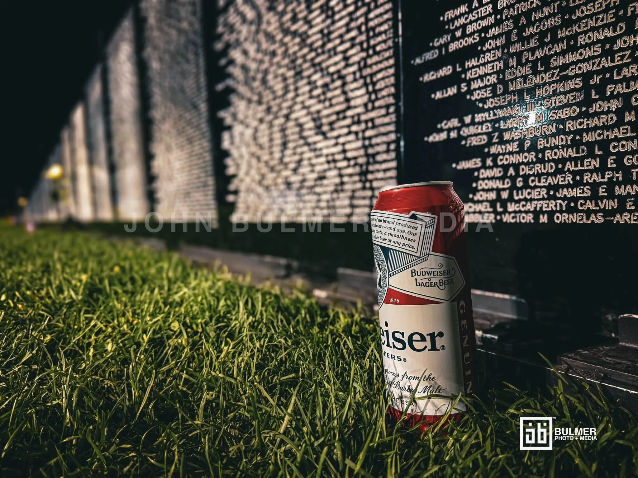
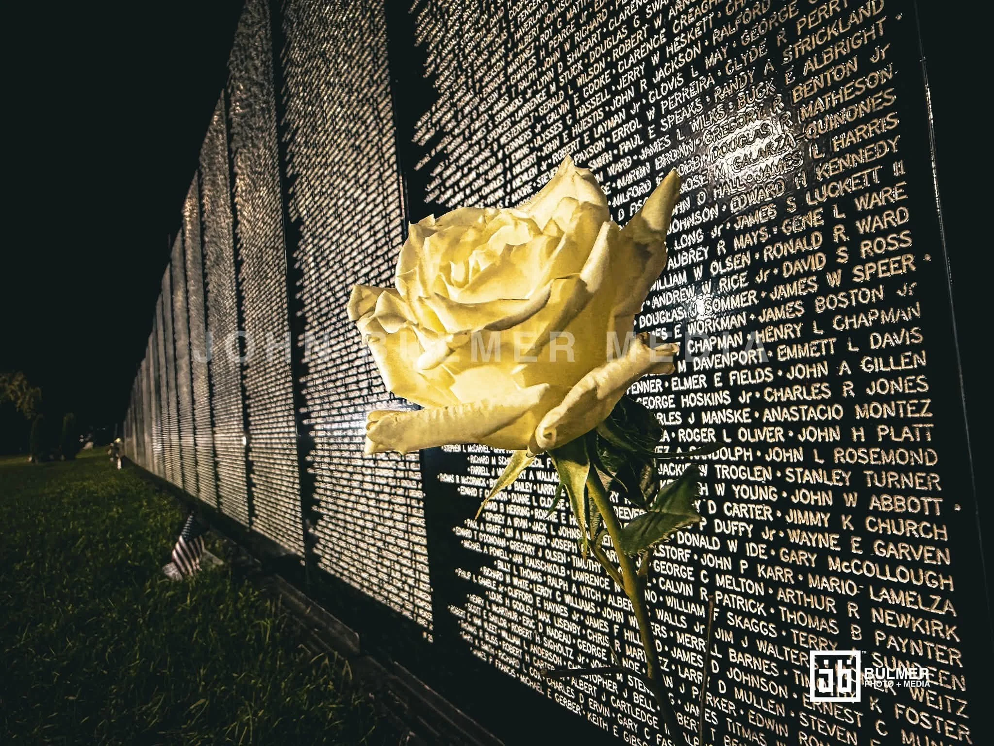

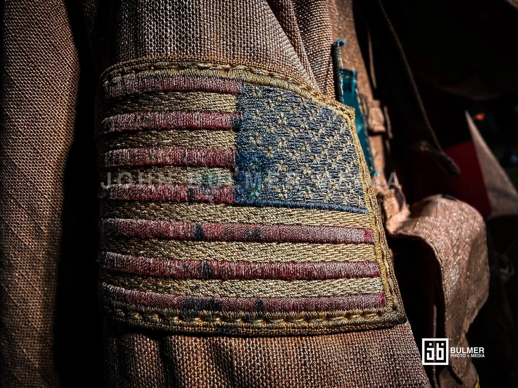
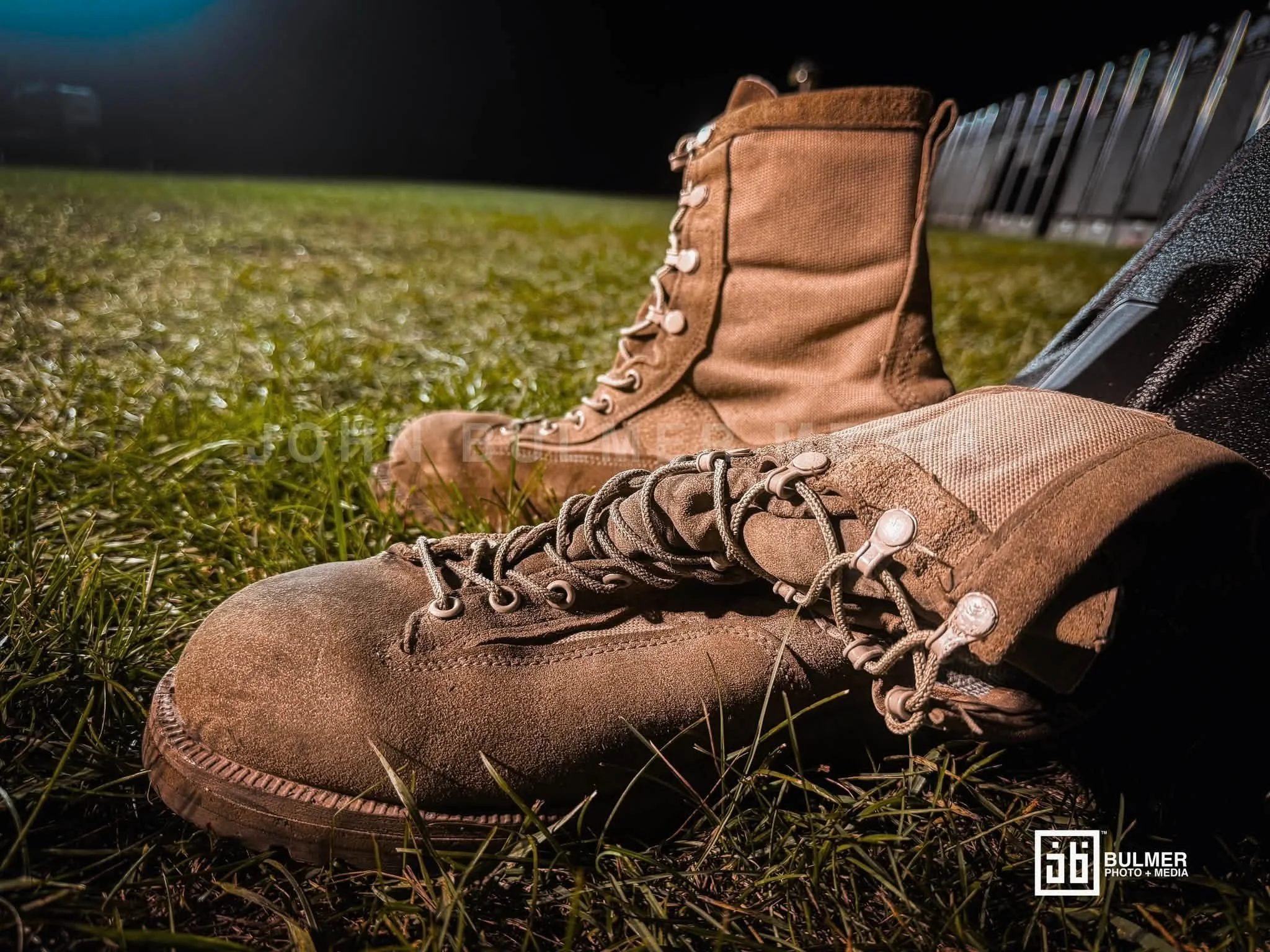
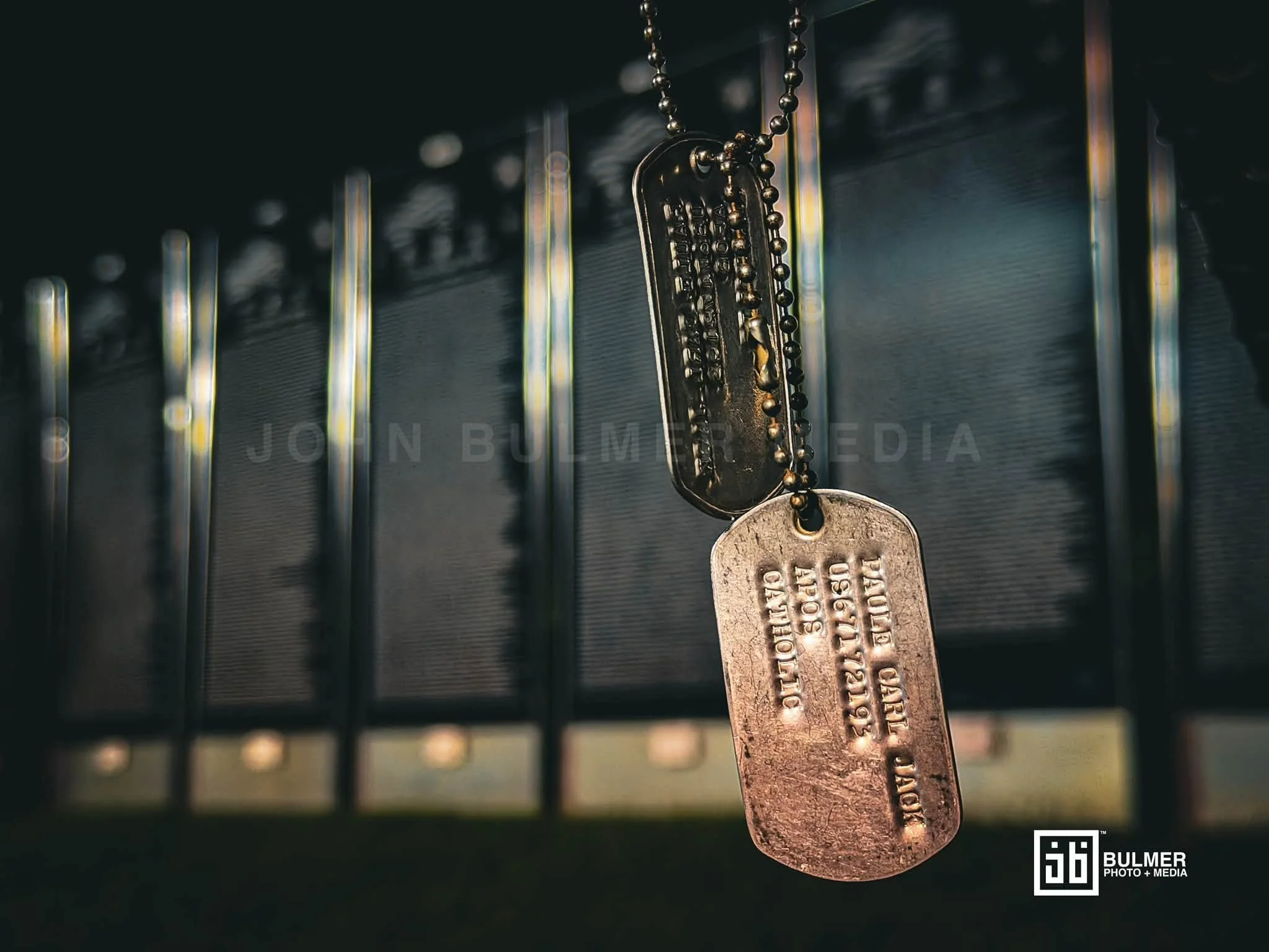

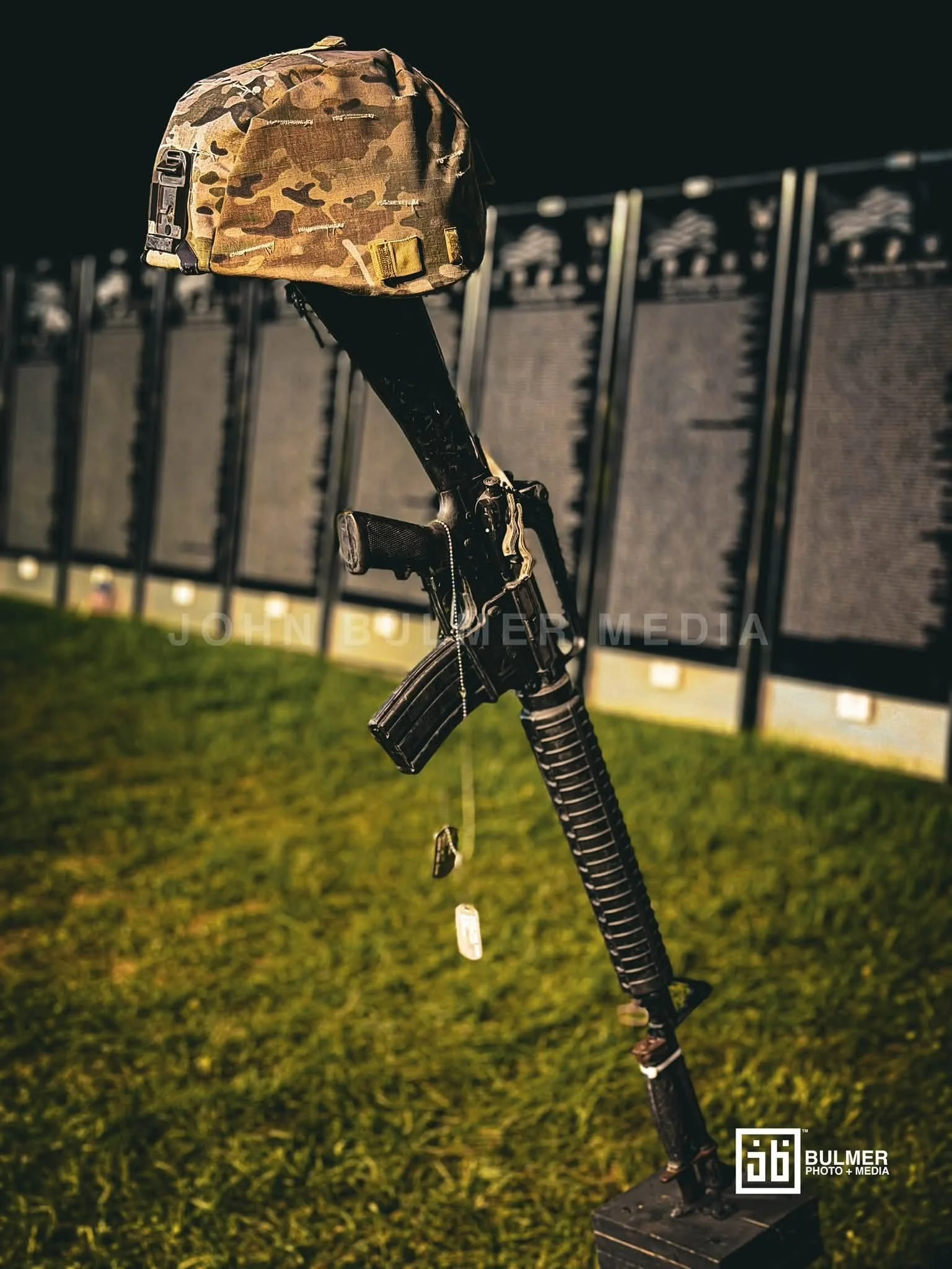
Scenes from the Moving Wall Vietnam memorial in Crandall Park in Glens Falls, New York, August 22, 2026.
© 2026 John Bulmer Photography + Media. All rights reserved. Unauthorized use or reproduction of text, images, or film content without written permission is prohibited
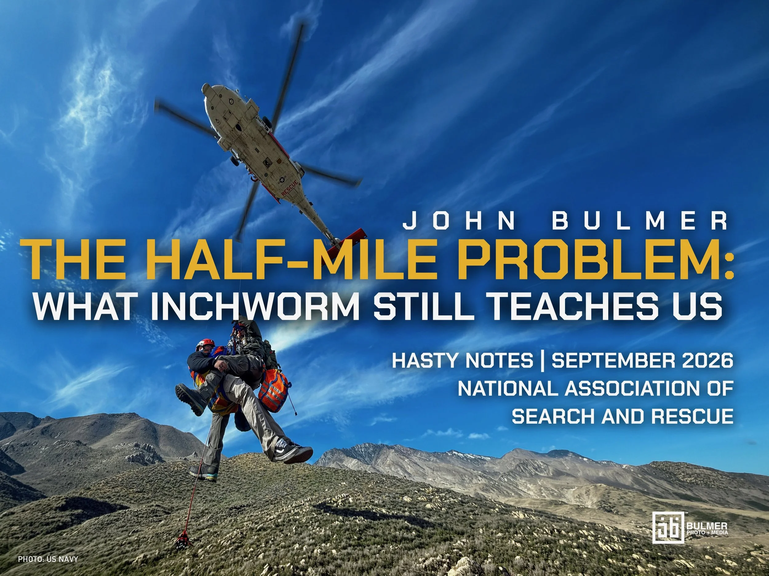
The Half-Mile Problem: What Inchworm Still Teaches Us
John Bulmer writes Hasty Notes, a quarterly column for the National Association for Search and Rescue's membership publication. Each installment examines a high-profile SAR mission for the operational lessons it holds for credentialed search and rescue professionals, SARTECH and SARMGR readers who need no primer on the fundamentals.
The column's name borrows from the term of art: a "hasty search" is the first, fast push into the highest-probability areas before a full systematic search stands up, the earliest, most consequential decisions in an operation, often made with the least information. Hasty Notes applies that same instinct to the page: quick, direct takes on what a past mission teaches, written before the lesson goes cold.
What the Largay case reveals about clearance, detectability, and the limits of a completed assignment
By John Bulmer, NYS Crewboss, Founder of Adirondack Mountain Rescue
On the morning of July 22, 2013, Geraldine Largay left the Poplar Ridge lean-to in western Maine, stepped off the Appalachian Trail to relieve herself, and could not find her way back. She was sixty-six, a retired nurse, well into a northbound hike. Her fellow hikers knew her as "Inchworm," a name earned for her slow, steady pace, a quiet irony in a case that turns on distance. On July 24, her husband reported her missing when she failed to make a prearranged road crossing on Route 27. What followed was one of the largest searches in Maine Warden Service history: a large multiagency response of ground teams, canine units, aircraft, ATVs, and horses. The initial intensive search was suspended eight days later; the case and periodic search efforts continued for more than two years.
She was found in October 2015 by a forestry contractor conducting a tree inventory on land used by the Navy's Survival, Evasion, Resistance, and Escape (SERE) School. Working from a computer-generated survey point, he walked a transect and encountered her campsite on his third stop. It sat roughly half a mile, about 3,000 feet, from the Appalachian Trail, about a hundred yards inside the SERE boundary. According to reporting based on the Warden Service file, canine teams came within about a hundred yards of that campsite on three occasions during the search without locating it. Her journal indicates she survived at least twenty-six days.
No single decisive blunder explains what happened. The record shows how structural problems in search (detection limits, incomplete negative information, unreliable clues, and jurisdictional seams) can compound even in a capable, large-scale operation. That is why the case belongs in this column, and why many of the problems it exposes still sit inside contemporary ones.
The displacement was small, which changes everything
The number that reframes this case is small: her campsite sat roughly half a mile, about 3,000 feet, from the trail. The folklore tells it as a woman who "vanished," who got miles deep into the worst country in Maine. The map tells it differently. She stayed close to the corridor she disappeared from, in dense country that turned a short displacement into a hard detection problem.
Behavioral statistics, including Robert Koester's International Search and Rescue Incident Database (ISRID) work and the models built on it, place many lost hikers within a relatively short distance of their initial planning point. ISRID gives incident commanders a defensible starting prior, a place to begin that then has to be tested against terrain, evidence, and the actual search record. Search planning often treats distance as the dominant question: how far could the subject have gone? Largay is a reminder that a subject can sit well inside a reasonable probability area and still be extraordinarily difficult to detect. The lesson lives in the gap between putting search resources near the answer and actually finding it.
The gap between searched and cleared
Public reporting indicates that canine teams came within roughly a hundred yards of Largay's campsite on three occasions. Those near-misses show how hard negative search results are to read in dense terrain. A team can be in the right neighborhood and still fail to detect a stationary subject, a small camp, a clue, or a scent source. Scent movement is shaped by wind, thermals, vegetation, moisture, terrain, elapsed time, contamination, and the dog's mission type. A dog team's passage through or near a segment is valuable information. By itself it documents the pass, and leaves open the probability of detecting any given stationary subject or clue within that segment.
A low camp is a minimal, ground-level shelter setup: no tent pitched high, no tarp strung between trees, no fire, nothing raised above the surrounding vegetation. It's a subject staying low and small, often under a downed tree or against a rock, using what's on hand rather than building anything visible. That posture is common in prolonged survival situations, where energy conservation and containing body heat outweigh signaling. It's also nearly invisible to both air search and ground teams moving past at any distance, and it produces little or no elevated scent plume for a canine team to intercept downwind.
Dense timber, broken ground, weather, search method, scent conditions, and a subject who had stopped moving, made a low camp, and offered little visual contrast all degrade POD.
The public record does not allow an outsider to reconstruct, for those assignments, the actual POD achieved. We do not have a complete operational picture of team spacing, track coverage, dog type, wind, weather, timing, objectives, or debrief results. But that absence is itself the lesson. An incident map should record more than that a segment was assigned. It should preserve what method was used, when, under what conditions, and how much confidence the operation can reasonably place in a negative result.
This is the discipline practitioners already know and operations still routinely lose under resource pressure: a searched segment quietly becomes a segment we stop returning to. The map records that we were there. It records nothing about the POD we achieved. When a subject is still missing past the point where the high-probability zone "should" have produced them, the correct move is often to re-search the highest-probability segments at higher POD, and to resist pushing the perimeter outward into terrain the subject was statistically unlikely to reach.
One bad clue moves the whole map
Early information pointed search attention farther along her intended route. A reported sighting later proved to be a different hiker, while Largay had in fact stopped soon after leaving the trail and stayed.
A single unvetted clue re-weights the entire probability surface and pulls resources with it. Probability of success is the product of probability of area and probability of detection: POS = POA × POD. A bad lead can drive operational attention away from the correct area, while dense canopy holds POD there low. The result can be a dangerously weak POS in the place that matters most, even while the operation records substantial and sincere effort elsewhere. In a media-heavy, tip-heavy search, and this was one, clue vetting is core operational work: it decides whether the map reflects the subject's behavior or our assumptions about it. The mistaken sighting illustrates how quickly an unvetted report can distort priorities in a time-critical search.
Two failures sat side by side here. A mistaken lead like the sighting is exactly the kind that bends a search's priorities, and it was in the room while decisions were being made. Largay's own phone, meanwhile, kept trying and failing to reach her husband; those messages might have corrected the picture, but they were never delivered and surfaced only after the fact. The clue that could mislead was present. The information that could have set it right was silent.
"Stay put" is only half of a survivable instruction
Largay did much of what we tell lost hikers to do. She stopped. She made camp. She tried to signal. She tried, repeatedly, to text her husband. By the doctrine we hand the public, she behaved well.
And it wasn't enough, because "stay put" is only half of a survivable instruction. The other half is be detectable, and detectability is a property of terrain as much as of effort. She stopped in a dense, high-canopy pocket where signals may have been difficult to see from the air and a person difficult to detect through dense timber on the ground. Staying put on an open knoll, a burn, a streambed, or a linear feature is a different act, and a more survivable one, than staying put in a pocket like hers.
When we give the public "hug a tree," we owe them the rest of it. Stop, yes. Then work on being seen. Make your camp as visible as you can. Move only if a clearly better spot is a few steps away, and once you are somewhere searchers could reach, stay there rather than pushing on. Use bright and reflective material where it will actually be seen, and signal by sound as well as sight. Auditory signaling can sometimes outperform visual signaling under canopy, but its range is highly dependent on terrain, weather, background noise, and whether searchers happen to be pausing to listen. A whistle is one more chance, with a shorter reach than we like to assume.
Ten texts
Her phone tried to reach her husband roughly ten times and reached no one. An activated personal locator beacon (PLB) or satellite SOS device would likely have changed the search problem substantially, though neither guarantees an immediate rescue, and the two work differently. A PLB transmits a one-way distress signal and location through the Cospas-Sarsat system. A satellite messenger, depending on device and subscription, may add two-way text. Both depend on activation, battery, and a view of the sky.
The harder lesson outlasts the gadget: we cannot build our search assumptions around subject-side devices, because the subjects who need us most are disproportionately the ones without them, or with them dead in a pocket. Largay's cell data was recoverable and useful to investigators afterward, but forensic recovery of a phone that couldn't get a message out serves the after-action and does nothing for the rescue in progress. Communications planning has to assume a silent subject. And when a device does leave a thread (a registered ping, a last-known tower, a partial), that thread earns fast handling: where it is lawful and technically available, device-derived information should be evaluated quickly and weighed carefully against the reliability of eyewitness reports.
The seam in the map
On the public record alone, without the incident file, her campsite lay about a hundred yards inside the SERE School boundary. That parcel was part of the broader search environment, and the public record indicates that Navy-related coordination formed part of the response. What the public record leaves open is how access procedures, training schedules, assignment design, and interagency coordination affected the intensity of coverage near that boundary.
The record raises a question it cannot answer: how did access, coordination, and documentation shape the search of that parcel? That open question is itself the planning lesson. Every authority having jurisdiction (AHJ), the agency legally responsible for running the mission, has difficult ground: the private inholding, the tribal land, the federal parcel, the reservoir buffer, the line where one county's resources stop and the paperwork starts. These seams are invisible to the lost person, who walks across them without knowing, and stubbornly visible to us. Formal MOUs and MOAs with the agencies and owners of restricted or awkward ground (military installations, watershed and reservoir buffers, tribal land, private timber, state and federal borders) should answer, before anyone goes missing, who can enter, how fast, under what conditions, and how completed assignments will be documented. The concrete takeaway for a search manager is to audit the operating area now for un-MOU'd seams, before a mission forces the question under time pressure. Largay spent her final weeks in exactly such a parcel, half a mile from a trail hundreds of people walked that summer.
The mirror
The Largay search is, above all, a study in the ceiling of our methods. A subject who did much of what we teach remained missing inside a search environment that had drawn substantial resources. Dense canopy, ambiguous negative results, a persuasive but mistaken lead, and an institutional boundary all made a short displacement extraordinarily hard to solve.
The mirror test is simple. Look at your own last three "cleared" segments. Ask what POD you actually achieved. Ask what method was used, under what conditions, and whether the negative result is strong enough to justify moving probability elsewhere. Largay survived for at least twenty-six days roughly half a mile from the trail. The discipline this case demands is holding the line between three things we too easily collapse into one: proximity, assignment, and clearance are three separate facts, and only clearance closes a segment.
© 2026 John Bulmer Media and Adirondack Mountain News. All rights reserved. Produced for the National Association of Search and Rescue